
Plan your El Chalten hikes with our complete trail guide. Get maps, difficulty levels, packing lists & sample itineraries.
El Chalten Hikes Complete Trail Guide and Tips
I’ve walked these trails myself, and I’m here to help you plan your El Chalten hikes with confidence. This guide covers the best trails ranked by difficulty, when to visit for good weather, what to pack, and how to stay safe.
You’ll get detailed trail descriptions, multi-day routes, and practical tips I wish I knew before my first visit.
I’ll show you which hikes offer the best views and which to skip if you’re short on time. After three trips here, I know what works.
Let’s get you ready for Patagonia.
Best Time for El Chalten Hikes
The hiking season runs from October through April. Peak season hits from December to February when trails get busy but weather stays warm. March and April bring calmer conditions with fewer hikers.
Summer months bring 12 to 15 hours of daylight and temperatures between 50°F and 68°F. Rain can strike any day, and winds often reach 40 mph or higher.
Spring and fall see cooler temps around 40°F to 55°F. Lower valley trails stay accessible most of the season while high routes may have snow until late November. Skip Christmas and New Year weeks for quiet trails.
Late March through mid-April offers the best balance of good weather and smaller crowds. Wind patterns calm down in early morning hours between 6 AM and 10 AM, so plan summit attempts for dawn starts.
El Chalten Hikes Map and Trail Access
All major trails start within walking distance of town. The national park provides free trail maps at the ranger station.
Understanding the El Chalten Hikes Map
The map shows two main trail networks heading north and west from town. Northern routes lead to Laguna de los Tres.
Western trails access Laguna Torre.
Color coding helps identify difficulty levels: green for easy, blue for moderate, and red for challenging hikes.
Trailheads and How to Reach Them From Town
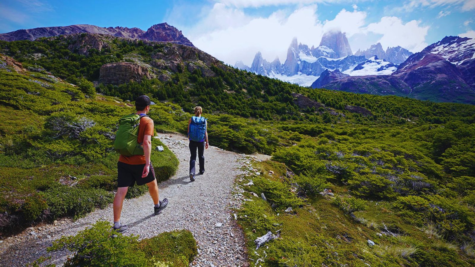
Most trails begin at the northern edge of El Chalten, about 10 to 15 minutes on foot from the main street.
Follow Avenida San Martin north until it turns into the trail network. You can walk to every starting point with your full pack.
Best El Chalten Hikes by Difficulty
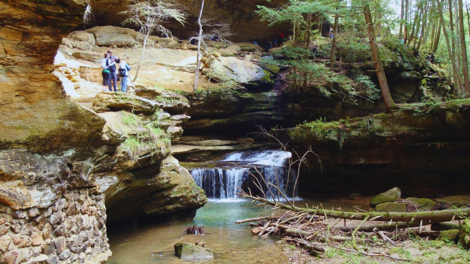
Trails range from flat riverside walks to steep mountain scrambles. Beginners can enjoy several rewarding hikes without technical skills.
Easy El Chalten Hikes for Beginners
Laguna Capri sits just 2 hours from town with minimal elevation gain. Chorrillo del Salto waterfall takes only 90 minutes round trip on flat terrain.
Laguna Torre base trail covers 11 miles round trip with moderate ups and downs but no serious climbing.
Moderate El Chalten Hikes With Scenic Views
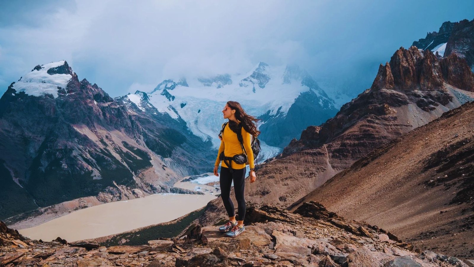
Mirador de los Condores and Mirador de las Aguilas add side trips to the Laguna Torre route. Laguna de los Tres demands more effort with a final 400 meter ascent that gets steep and rocky.
Budget 8 to 10 hours for the full round trip. Loma del Pliegue Tumbado climbs 1100 meters over 7 miles to a ridgeline with 360 degree views.
Challenging El Chalten Hikes for Experienced Hikers
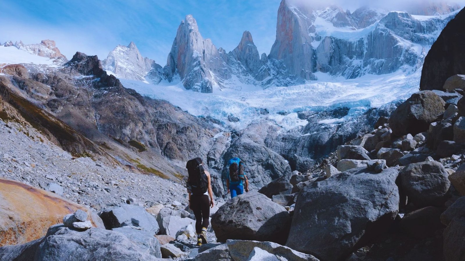
Pliegue Tumbado to Laguna de los Tres traverse links two major trails in one big day. You’ll need backcountry skills as some sections have faint trails.
Paso del Viento involves exposed scrambling and route finding. Only attempt this in good weather with map and compass skills.
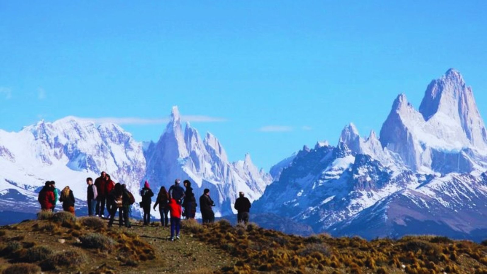
Best El Chalten Hikes You Should Not Miss
Three trails stand out as must-do options if you have limited time.
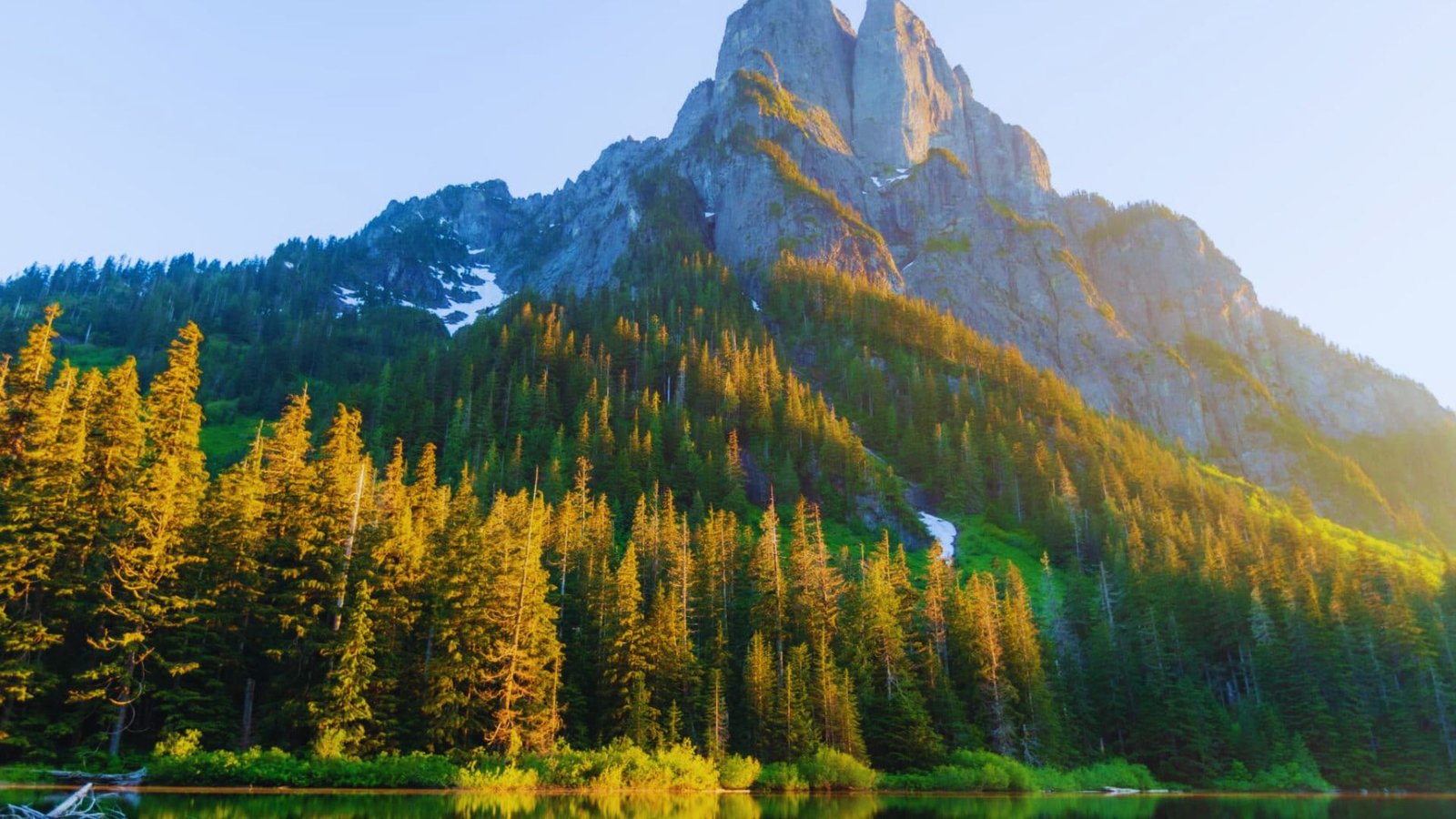
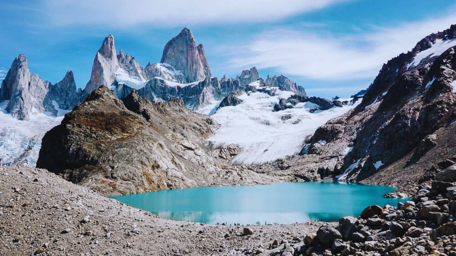
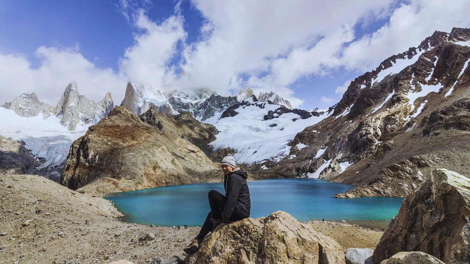
Laguna de los Tres Fitz Roy Trail
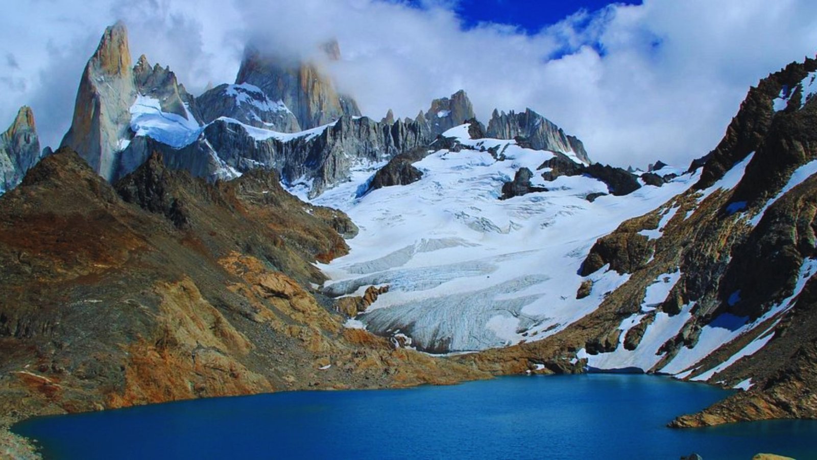
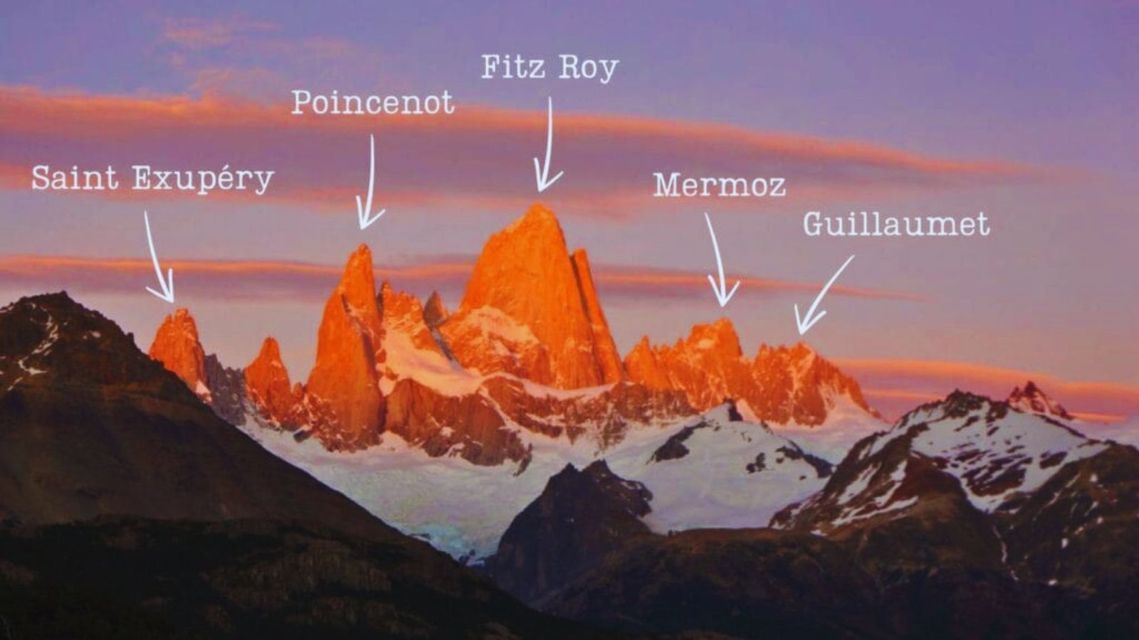
This iconic hike leads to a glacial lake directly below Mount Fitz Roy’s granite spires. The trail covers 12 miles round trip with steep climbing to the lake basin.
Most hikers leave town between 5 AM and 7 AM. Budget 8 to 10 hours total. The view justifies the effort even on partly cloudy days.
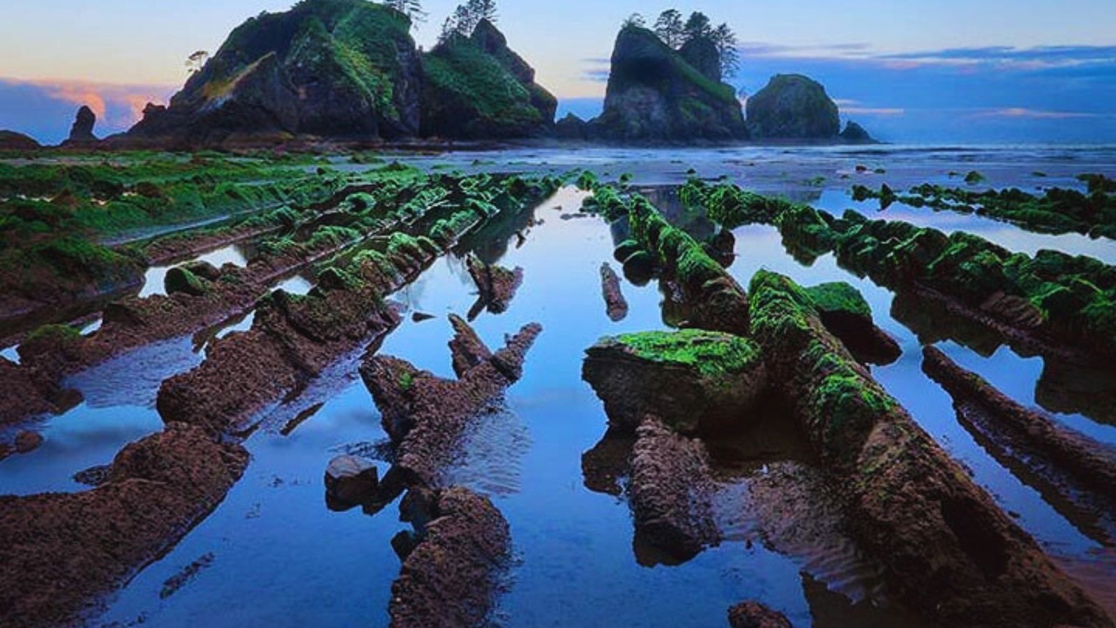
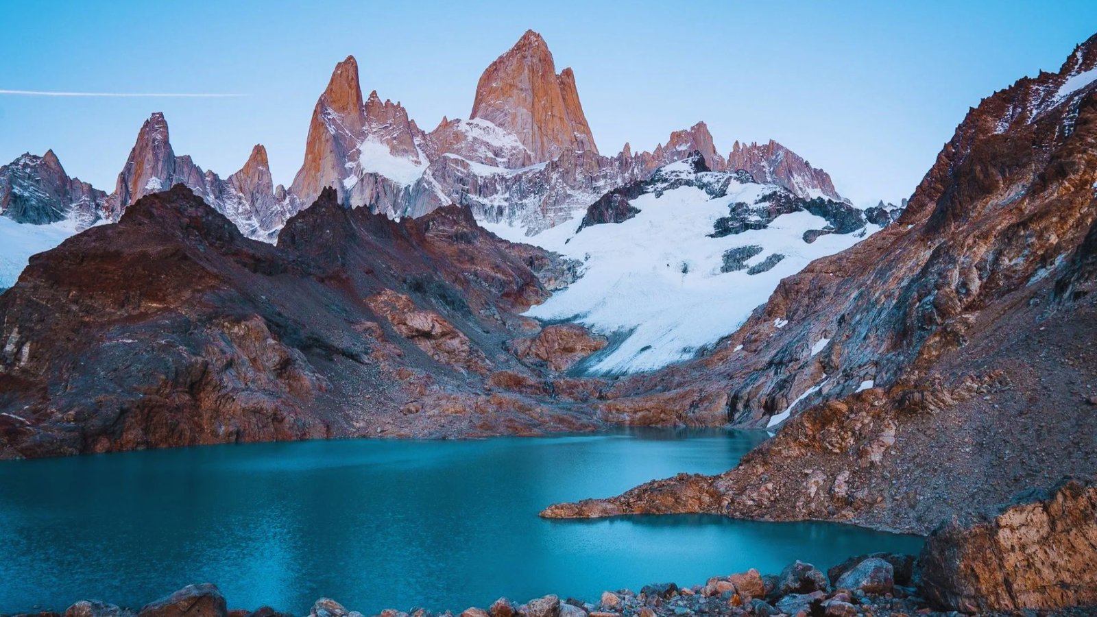
Laguna Torre and Mirador Maestri
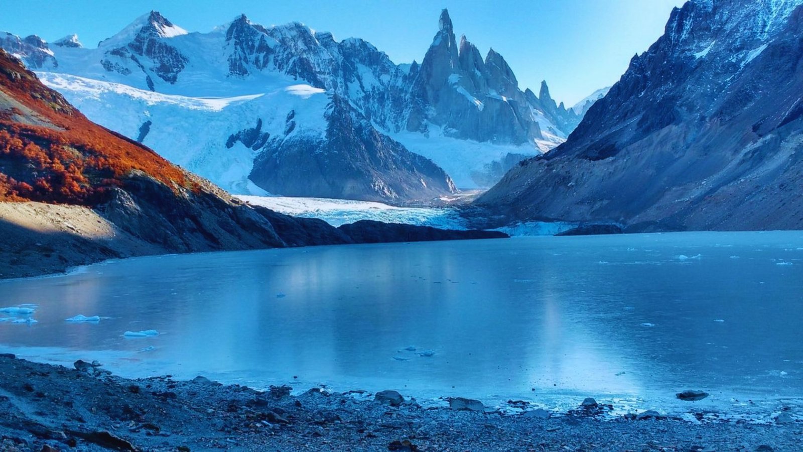
Cerro Torre rises above this glacier fed lake in one of Patagonia’s most photographed scenes. The trail takes 5 to 6 hours round trip with gentle grades.
You’ll walk through the southern beech forest before emerging at the lake. Mirador Maestri adds 30 minutes each way for a closer glacier view.
Loma del Pliegue Tumbado Panorama Hike
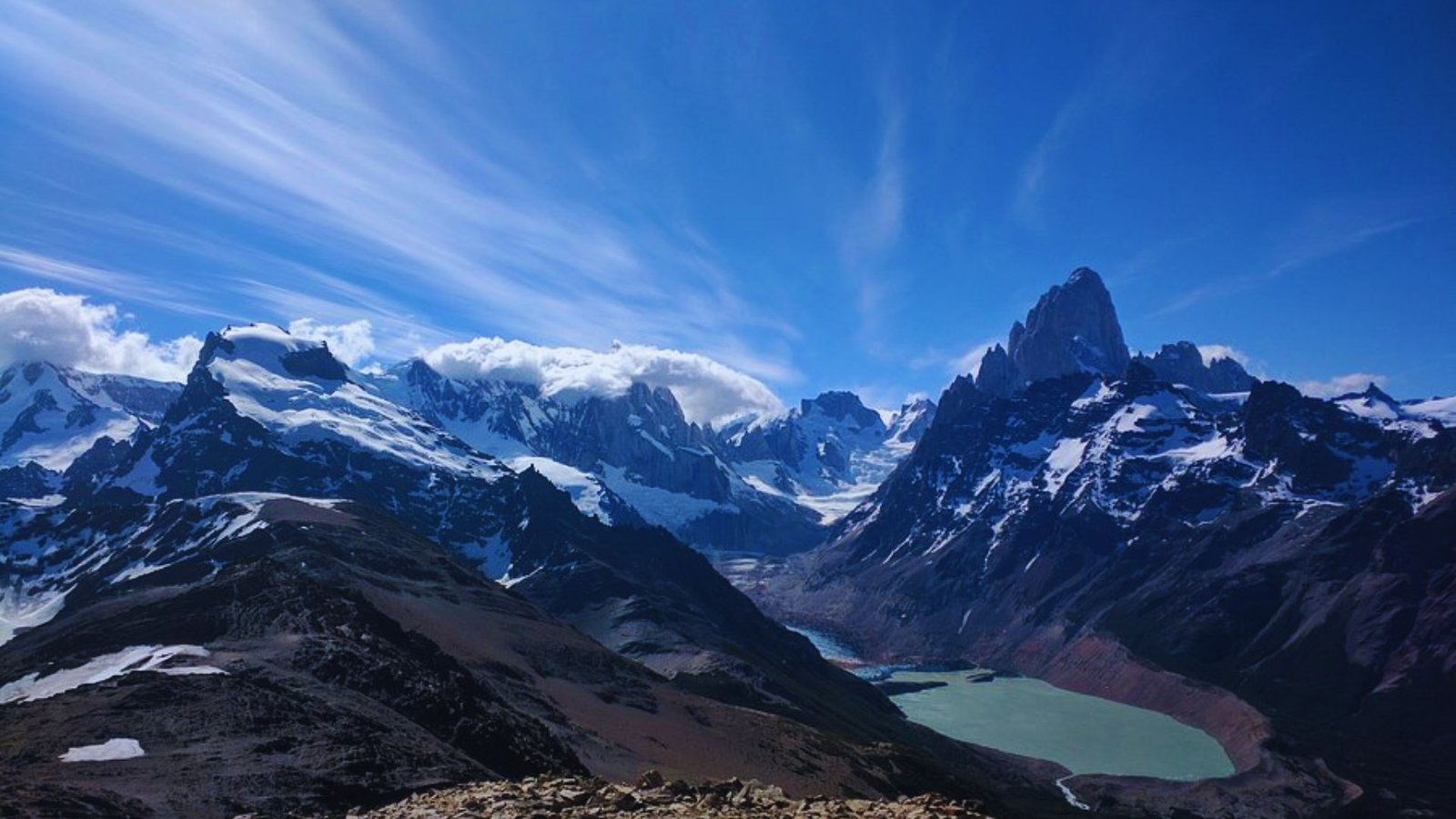
I saved this for my last day and it became my favorite trail. You climb steadily through forest and meadows to a broad ridge with views of Fitz Roy, Torre, and the ice cap in one sweep.
The 9 to 11 hour hike covers 14 miles with 1100 meters of elevation gain.
Multi Day and Advanced El Chalten Hikes
The Huemul Circuit offers serious backpackers a challenging loop through remote terrain. This 40 mile route takes three to four days and requires river crossings and glacier travel.
Huemul Circuit Overview
The circuit loops through the Viedma Glacier area east of town. You’ll ford rivers without bridges and cross a glacier section with crampons. Day one covers 8 miles to Bahia Tunnel.
Day two involves the glacier crossing to Campamento Paso del Viento. You need a tent that handles 60 mph winds and a sleeping bag rated to 15°F.
Registration and Experience Requirements
All hikers must register at the ranger station. Rangers check your gear list and experience level. You’ll watch a safety video covering river crossing techniques and glacier travel.
Bring proof of travel insurance that covers mountain rescue. Registration costs nothing but spaces fill up during peak season.
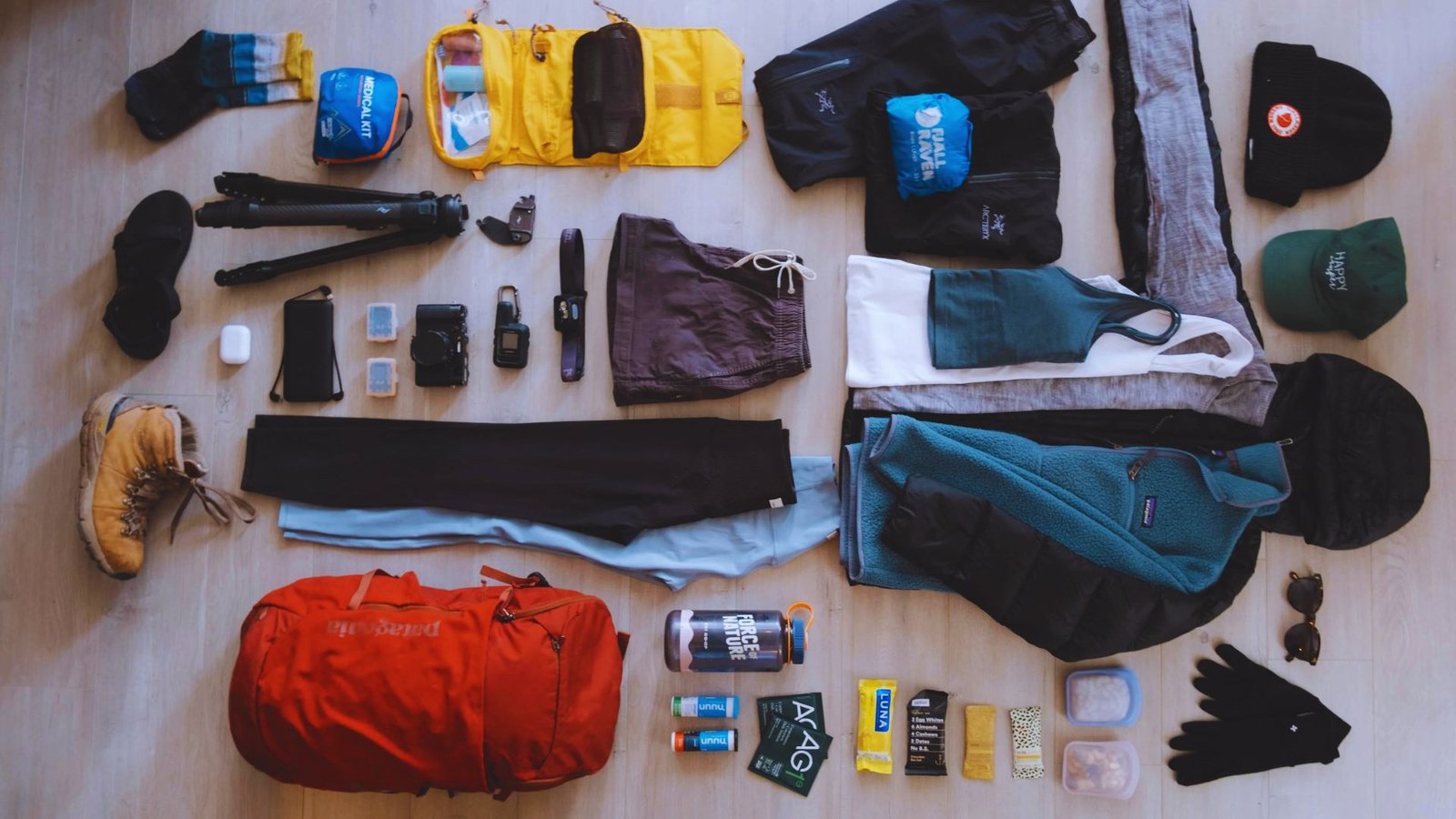
What to Pack for El Chalten Hikes
Layering beats heavy jackets in this windy climate. Start with a moisture wicking base layer and add a fleece or puffy jacket for insulation during breaks and cold mornings. Your shell jacket needs to block wind and rain effectively.
Bring a warm hat and gloves even in summer, and pack two pairs of hiking socks to prevent blisters. Broken in boots with ankle support handle rocky trails better than running shoes.
For day hikes you’ll need a 30 to 40 liter pack, 2 to 3 liters of water, high calorie snacks, lunch, headlamp, first aid kit, emergency shelter, and map.
Overnight trips require additional gear including a tent rated for high winds, sleeping bag rated to 15°F or colder, sleeping pad, stove and fuel, cooking pot, lightweight food for all meals plus one extra day, and water filter.
Sample El Chalten Hikes Itinerary
These schedules assume average fitness and normal weather patterns.
Three Day El Chalten Hikes Plan
Day one: Arrive and hike to Laguna Capri.
Day two: Tackle Laguna de los Tres with an early start.
Day three: Walk to Laguna Torre and back in 5 to 6 hours for recovery while still seeing amazing scenery.
Five Day El Chalten Hikes Plan
Day one: Easy day with Laguna Capri.
Day two: Laguna Torre with side trips to Mirador Maestri.
Day three: Rest day in town.
Day four: Laguna de los Tres full day hike.
Day five: Loma del Pliegue Tumbado if you feel strong.
One Week El Chalten Hikes Itinerary
Day one: Arrival and Laguna Capri.
Day two: Laguna Torre with viewpoint extensions.
Day three: Town day or easy riverside walk.
Day four: Laguna de los Tres.
Day five: Rest and recovery.
Day six: Loma del Pliegue Tumbado.
Day seven: Flexible day for weather makeup or repeating a favorite trail.
Planning Tips for El Chalten Hikes
Good planning makes the difference between a great trip and a stressful mess.
- Plan three days minimum for two main trails or five days for three major hikes with recovery time
- Tell someone your plans and return time, bring whistle and first aid supplies
- Weather creates the biggest danger, carry extra food and warm layers on all hikes
- Pack moisture wicking base layer, fleece jacket, wind and rain shell, warm hat, gloves, and broken in boots
- Day hikes need: 30 to 40 liter pack, 2 to 3 liters of water, snacks, headlamp, emergency shelter, and map
- Overnight trips add: wind rated tent, sleeping bag for 15°F or colder, sleeping pad, stove, cooking pot, and water filter
- Bring lightweight food for all meals plus one extra day in case weather delays your return
Conclusion
El Chalten hikes gave me some of my best mountain memories. I’ve stood at Laguna de los Tres watching ice calve off glaciers and felt winds strong enough to lean into on Loma del Pliegue Tumbado.
You’ll build your own stories on these trails. Start with the easier routes, respect the weather, and don’t skip rest days.
Take your time and soak in every view. The mountains aren’t going anywhere, and rushing through won’t make the experience better.
What’s your first hike going to be? Drop a comment below and let me know your plans.
Frequently Asked Questions
Are El Chalten hikes safe for solo travelers?
Yes, popular trails have regular traffic during the season. Tell someone your plans, carry emergency supplies, and turn back if weather worsens.
Do I need hiking experience for El Chalten trails?
Easy trails like Laguna Torre need only basic fitness. Advanced routes require backcountry skills and scrambling experience. Match trails to your skill level.
Can I camp along El Chalten hiking trails?
Yes, free campgrounds are at Poincenot, De Agostini, and Laguna Torre. Use designated sites only and pack out all trash.
What is the hardest hike in El Chalten?
Huemul Circuit is hardest with glacier crossings and river fords. For day hikes, Loma del Pliegue Tumbado is the most challenging.
How early should I start El Chalten day hikes?
Start between 6 AM and 8 AM. Early starts help you avoid afternoon winds and catch better light for photos.