
Looking for the best Las Vegas hikes to try on your next visit? You’re in the right place. I’ve spent years hiking these desert trails, and I’m here to share what actually works. This guide covers easy city trails, scenic water hikes, relaxing hot springs, and popular day trips to nearby national parks.
You’ll learn the best seasons to go, what to pack, and how to stay safe in the desert heat. I’ve made every mistake so you don’t have to. From Red Rock Canyon to the Grand Canyon, I’ll show you exactly where to lace up your boots and hit the trail.
Why Las Vegas Is a Great Place for Hiking
‘
Las Vegas offers more than casinos and shows. The surrounding desert holds some of the most striking landscapes in America. You’ll find trails for every skill level within 30 minutes of the Strip. Fall through spring brings the best weather, with October to April offering cool mornings and comfortable temps.
Summer heat can reach 115°F, so plan early morning starts if you visit then. The variety here keeps things interesting-red rock canyons, water features, slot canyons, hot springs, and mountain views.
Beginners can stick to flat, paved paths while experienced hikers tackle steep climbs and backcountry routes. I never get bored with the options, and the dramatic scenery beats anything I’ve seen in other desert regions.
Easy Las Vegas Hikes Near the City
These trails sit close to the Strip, perfect for quick morning or evening walks without driving far.
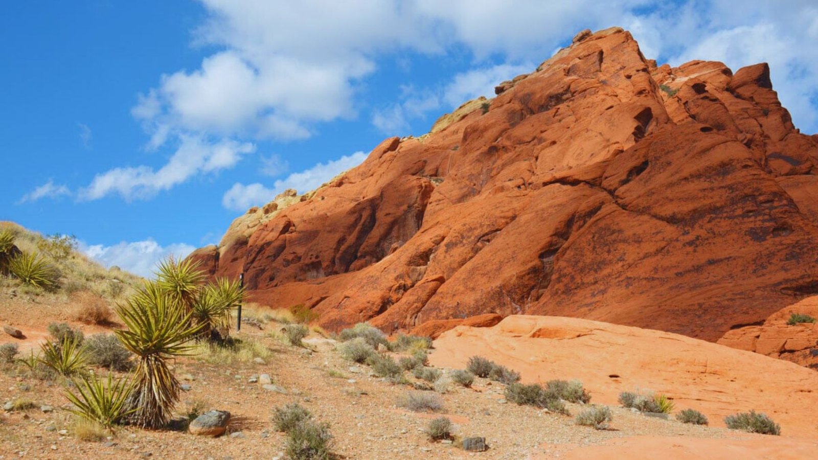
Red Rock Canyon Conservation Area
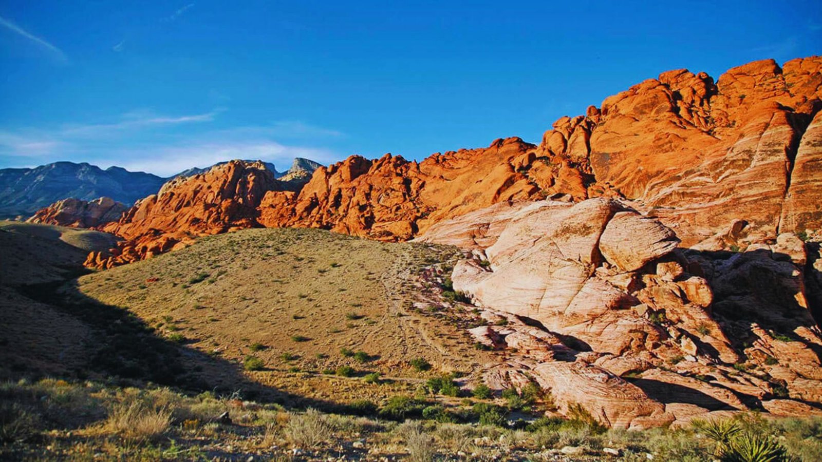
Red Rock sits 17 miles west of Las Vegas and feels like another world. The 13-mile scenic drive loops through towering red sandstone formations. Calico Tanks Trail runs 2.5 miles roundtrip with moderate climbing.
You’ll scramble over rocks to reach natural water tanks with panoramic views. Calico Hills offers shorter options at 1-2 miles. I go here when I need a quick reset from city life. Entry costs $15 per car, good for seven days.
Sloan Canyon National Conservation Area
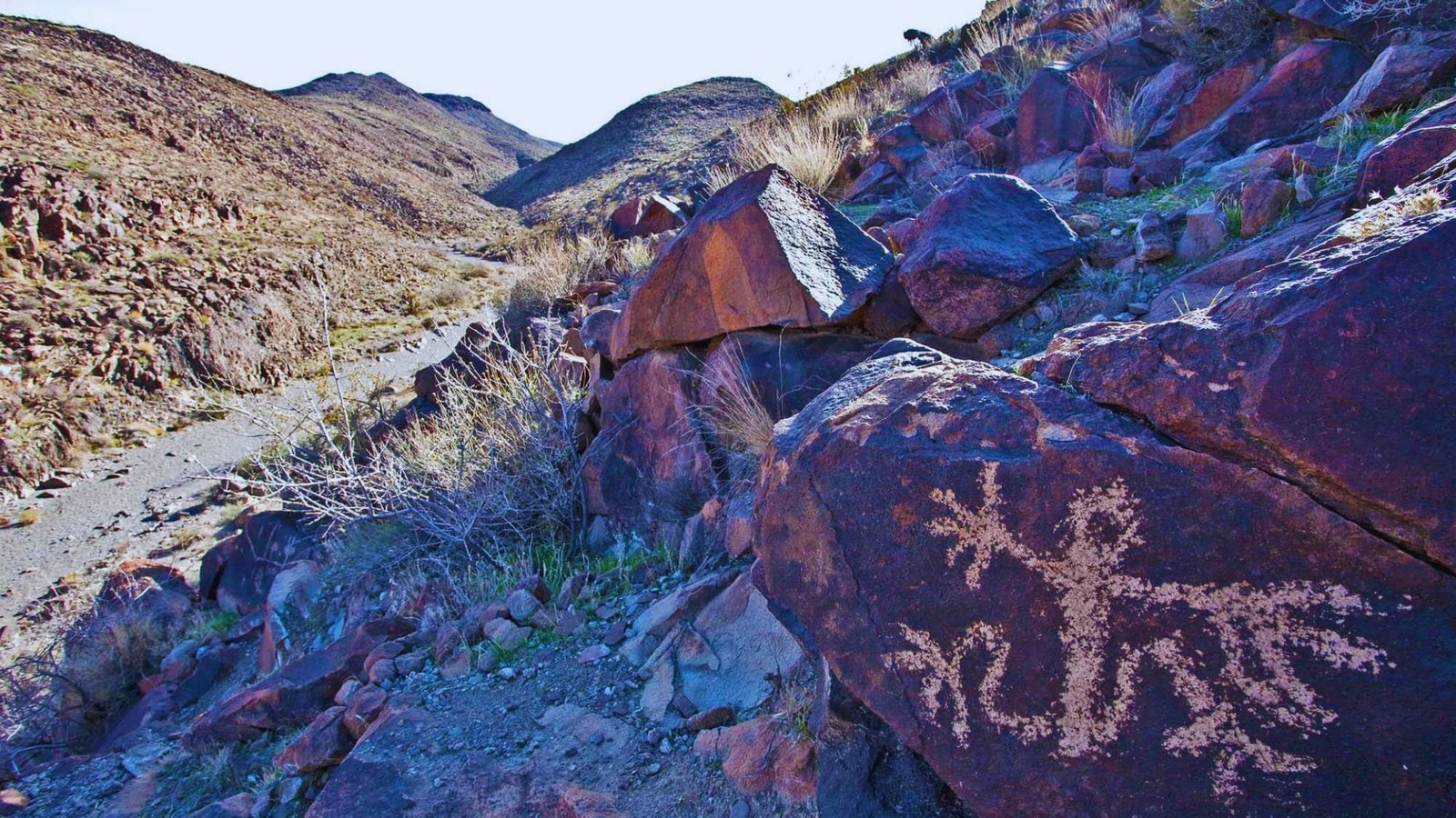
Most tourists miss this gem 15 miles south of Vegas. Over 300 petroglyphs line the canyon walls, left by ancient peoples. The main trail runs 3.8 miles roundtrip through the canyon. The path stays relatively flat with some sandy sections.
Arrive early because parking fills up on weekends. No facilities exist here, so come prepared. The solitude beats crowded Red Rock on busy days.
Lone Mountain Trail
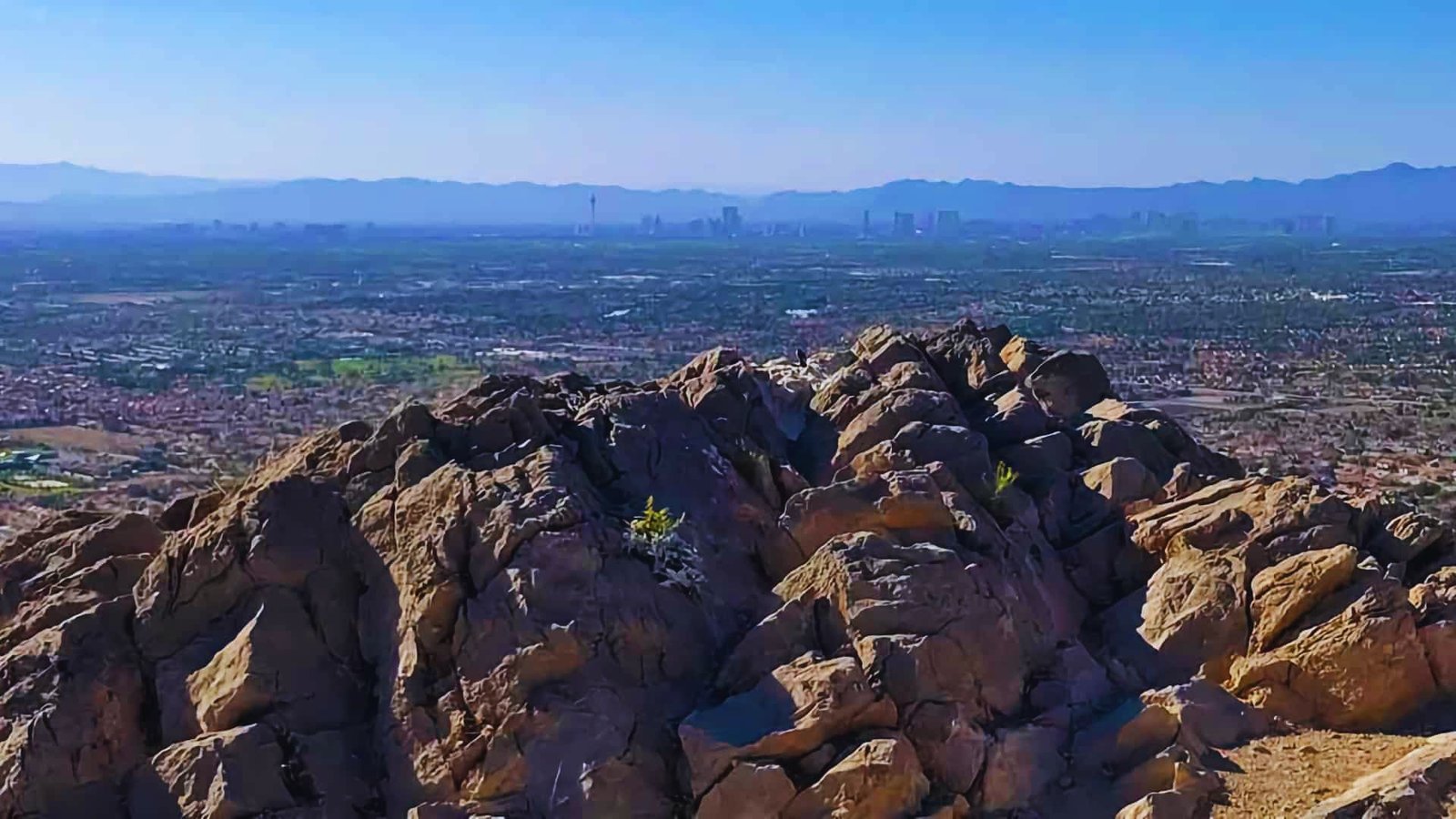
This 3-mile loop sits right in northwest Las Vegas neighborhoods. Locals love it for sunrise workouts. The trail circles the base of Lone Mountain with gradual elevation gain. A steeper spur trail leads to the summit if you want valley views.
The packed dirt path works great for trail running or a quick evening walk. I’ve seen foxes and rabbits here at dawn. Free parking makes this an easy choice for budget travelers.
Las Vegas Hikes With Water
Desert trails with water features offer relief from the dry landscape and create notable trail features.
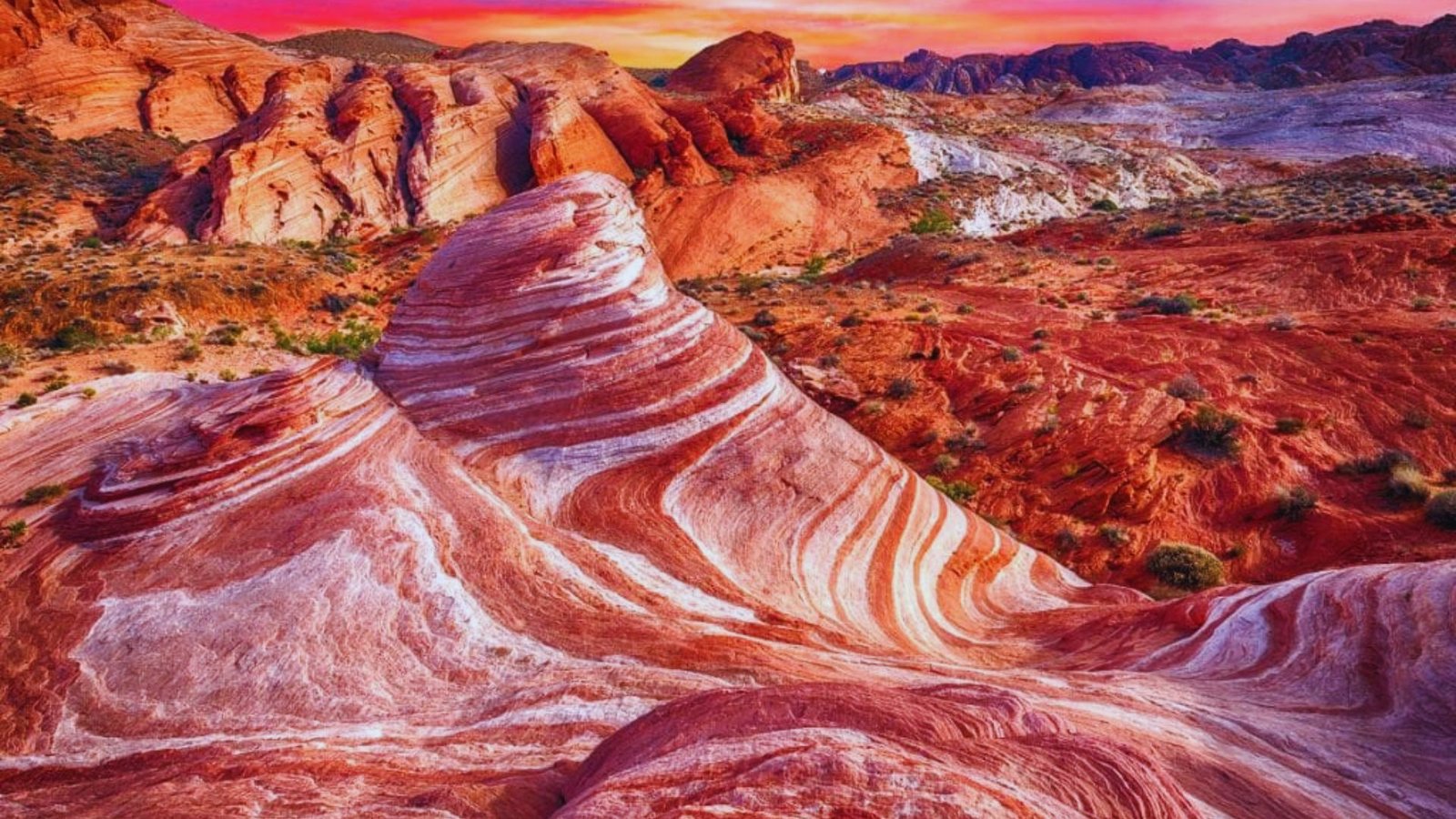
Valley of Fire State Park
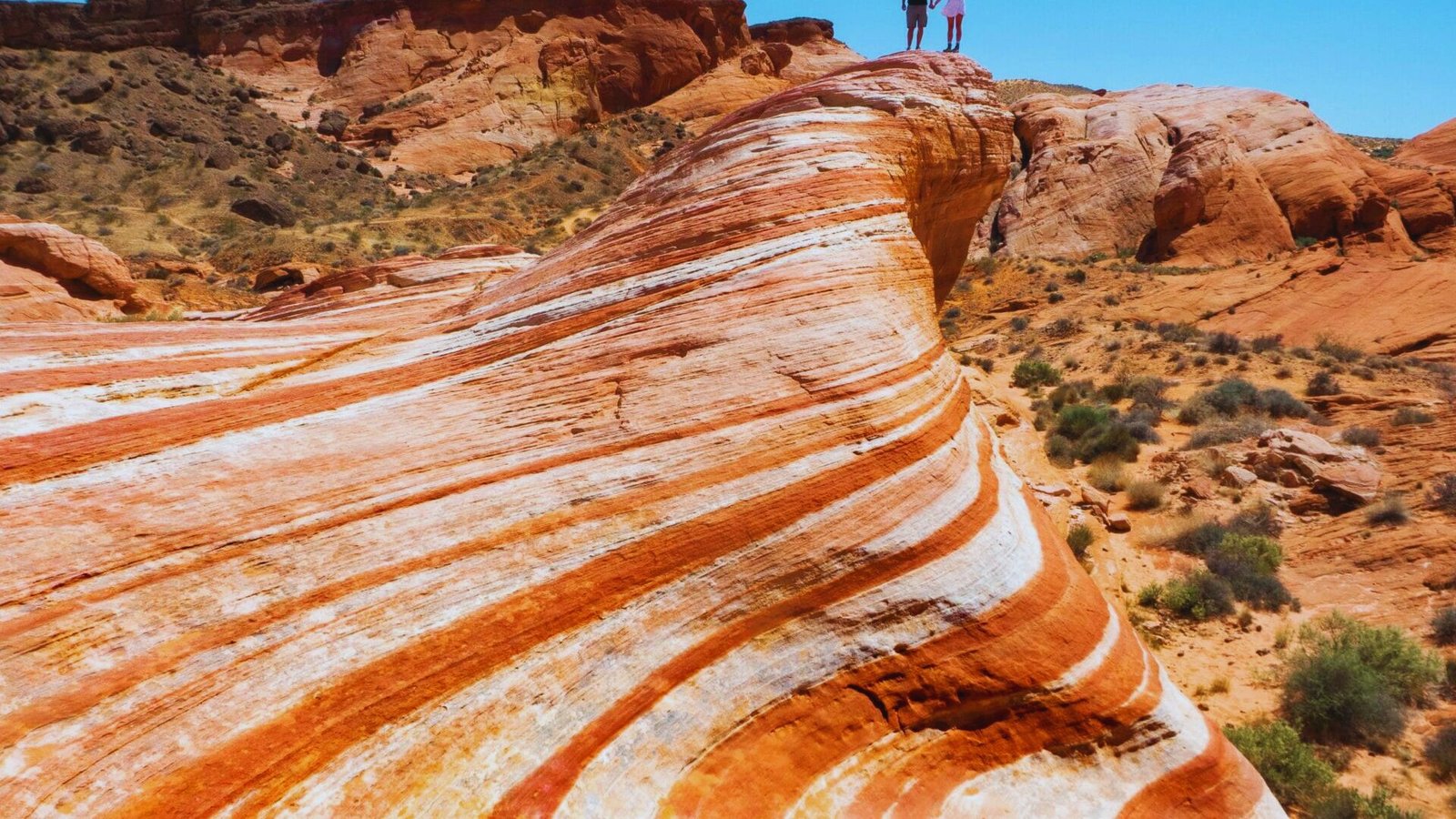
Located 50 miles northeast of Vegas, Valley of Fire deserves a full day visit. Ancient red sandstone formations glow orange and pink at sunset. Fire Wave Trail runs 1.5 miles through swirling striped rocks.
White Domes Trail loops 1.2 miles past slot canyons. Mouse’s Tank features seasonal water pools and hundreds of petroglyphs. I recommend going in spring when wildflowers bloom. Park entry runs $10 per vehicle.
Colorado River Area
The river creates a corridor of life through the desert. Black Canyon Water Trail below Hoover Dam offers kayaking and hiking combos. You can paddle to hot springs or hike along the shore.
Bird watching gets excellent here with herons and eagles. I love the contrast between dry cliffs and flowing water. Willow Beach sits 12 miles from Hoover Dam with river access.
Lake Las Vegas Hikes
This area east of Vegas combines lakeside paths with desert terrain for varied scenery.
Lake Las Vegas Trails
The paved paths around Lake Las Vegas run about 10 miles total. You can walk, run, or bike along the shoreline. The views mix desert mountains with Mediterranean-style buildings.
Families with strollers find this spot easy to access. I come here for flat, safe walks when my knees need a break from rocky trails. Parking stays free at various access points.
Historic Railroad Tunnel Trail
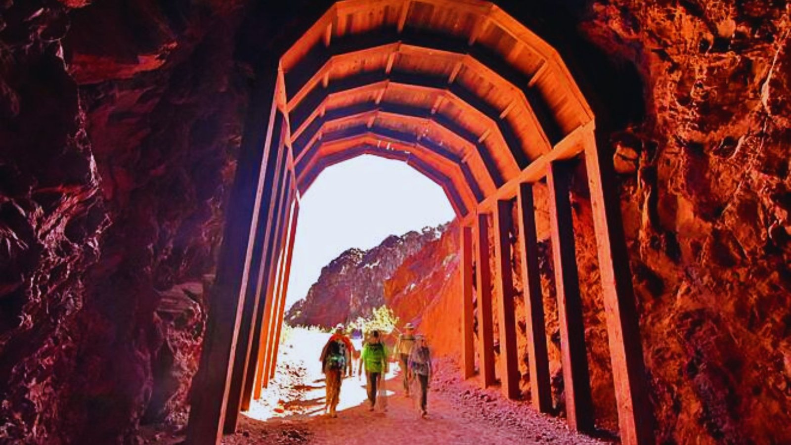
This 3.7-mile trail follows the old railroad route to Hoover Dam. Five massive tunnels cut through the rock. The paved path works for bikes, wheelchairs, and families. Lake Mead spreads out below with blue water views.
The tunnels provide shade and cool air even on hot days. This railroad helped build Hoover Dam in the 1930s. Start at the Nevada trailhead near Boulder City. Free parking and bathrooms available.
River Mountains Loop Trail
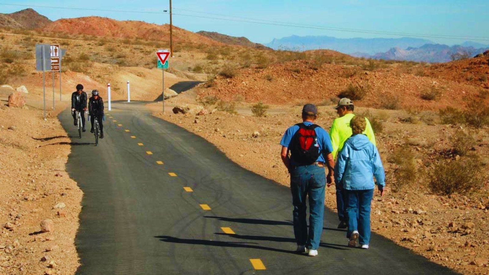
This 34-mile paved loop circles the River Mountains between Boulder City and Henderson. Most people tackle sections rather than the full loop. The trail connects to Railroad Tunnel Trail and Lake Mead.
You’ll bike past desert vistas, the lake, and residential areas. Water stations exist at several points. Early morning gives you the best temperatures.
Las Vegas Hikes With Hot Springs
Natural hot springs reward hikers with relaxing soaks after desert trekking.
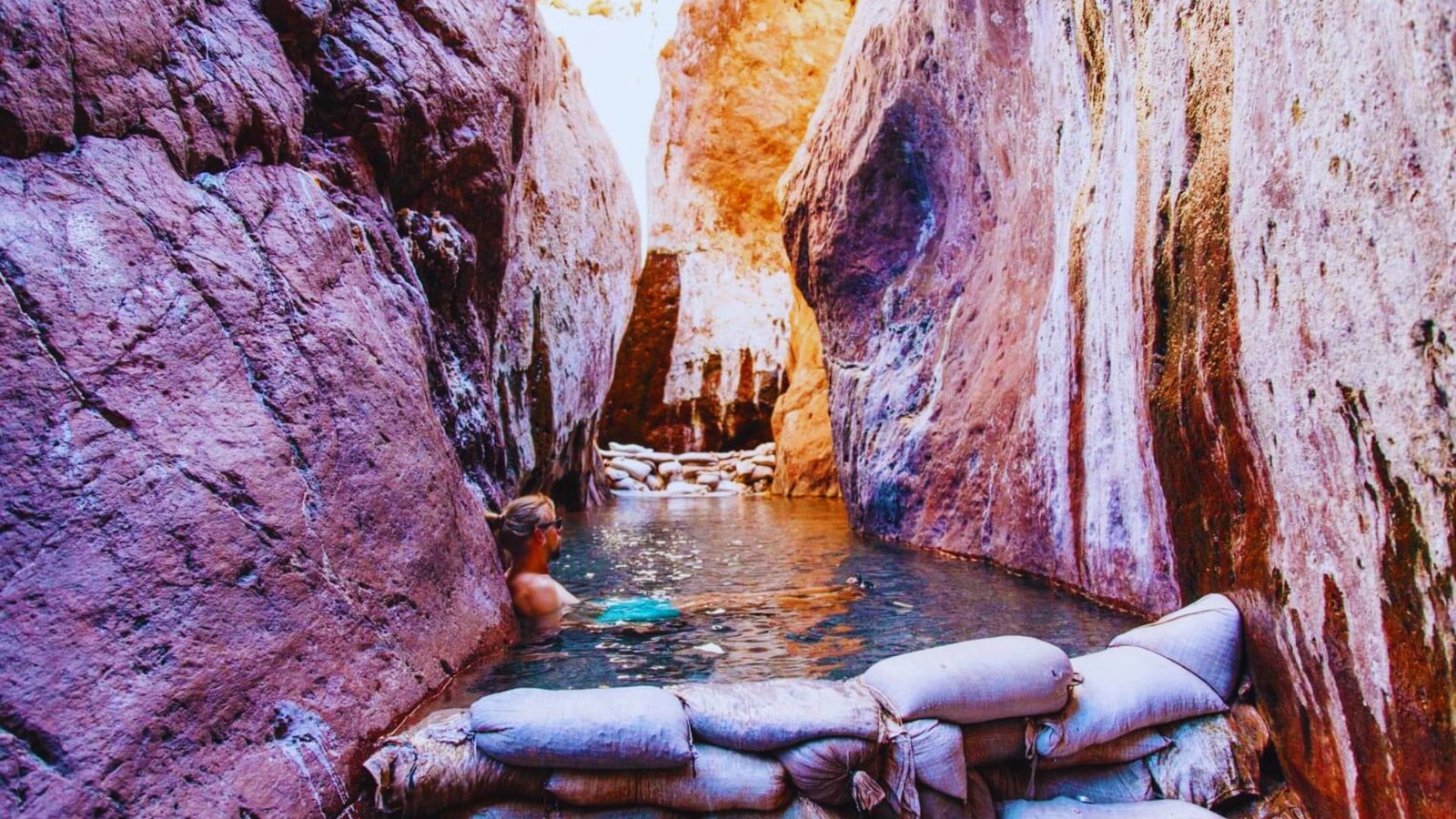
Gold Strike Hot Springs
This 6-mile roundtrip trail ranks as my favorite hot springs hike. You’ll scramble down ropes and ladders into a narrow canyon. Multiple pools at different temperatures line the canyon bottom. The Colorado River flows nearby, creating a temperature contrast.
The hike gets technical with some exposure. Bring gloves for rope sections. Summer makes this trail too hot-stick to cooler months. The effort pays off when you sink into those mineral pools. Parking sits off Highway 93 near Hoover Dam.
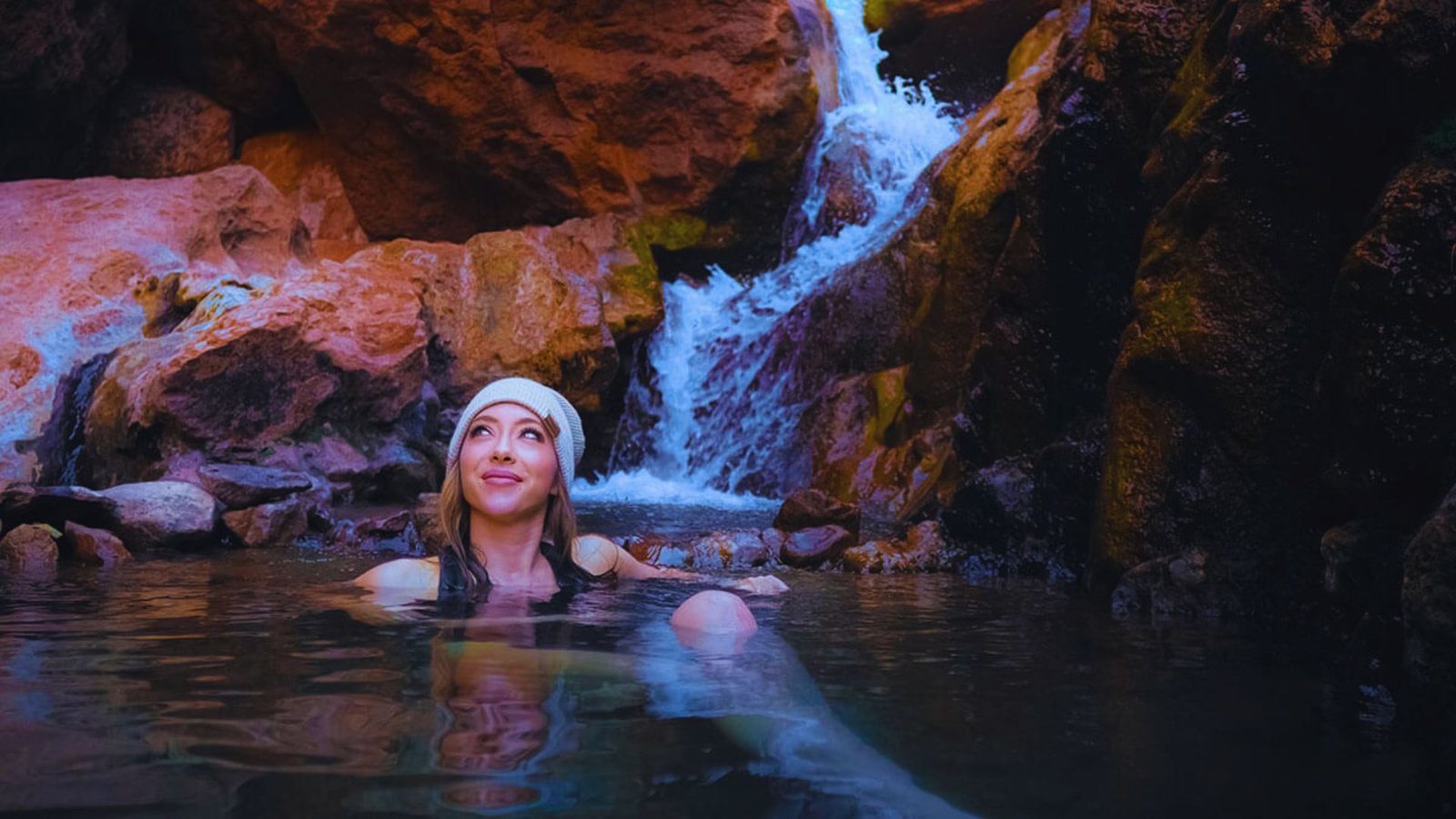
Arizona Hot Springs
Located on the Arizona side of the Colorado River, this 6-mile roundtrip hike takes you to natural hot water. The trail follows White Rock Canyon with views of the river below. A short ladder leads to the main hot spring cave.
The spring stays around 100°F year-round. I prefer this one over Gold Strike for fewer crowds. The approach stays less technical with clearer trail markings. You can also reach it by kayak from the river. Free parking at the trailhead.
Best Day Trips for Las Vegas Hikes
National parks near Vegas offer popular hiking areas worth the drive.
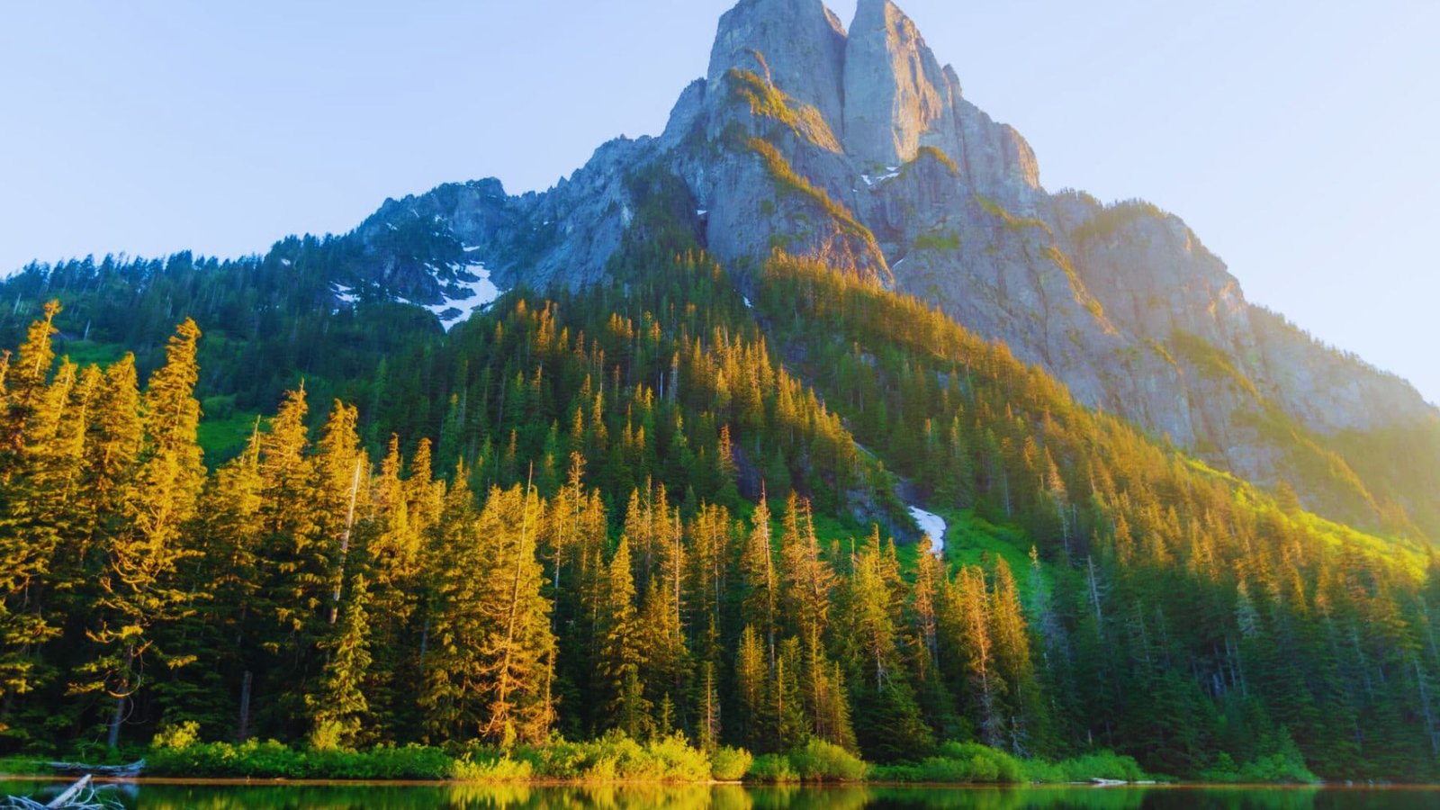
Zion National Park
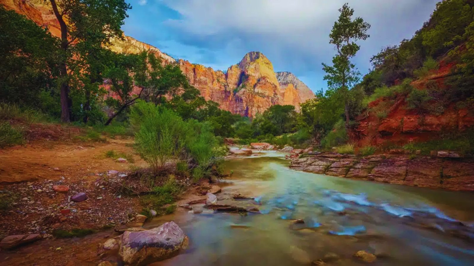
Zion sits 160 miles northeast of Vegas, about 2.5 hours driving. Angels Landing ranks among America’s most famous hikes. The 5-mile trail climbs chains to a narrow ridge with 1,000-foot drops. Now you need permits even in off-season.
The Narrows lets you wade through the Virgin River between towering canyon walls. I recommend going in fall when water levels drop and leaves change color. Emerald Pools offers easier family options. Park entry costs $35 per vehicle.
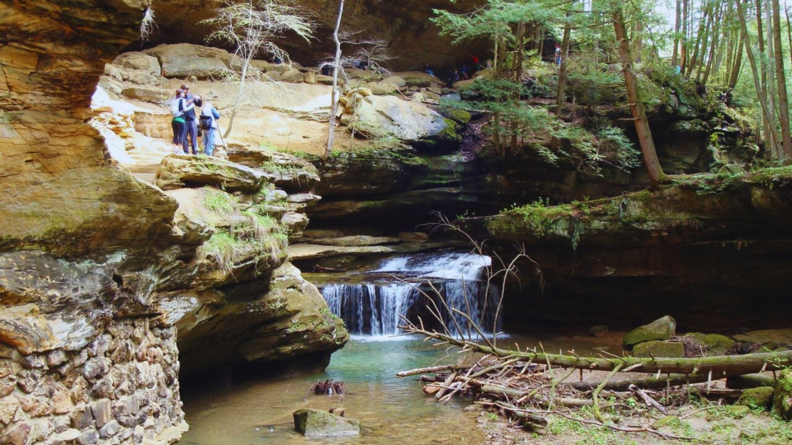
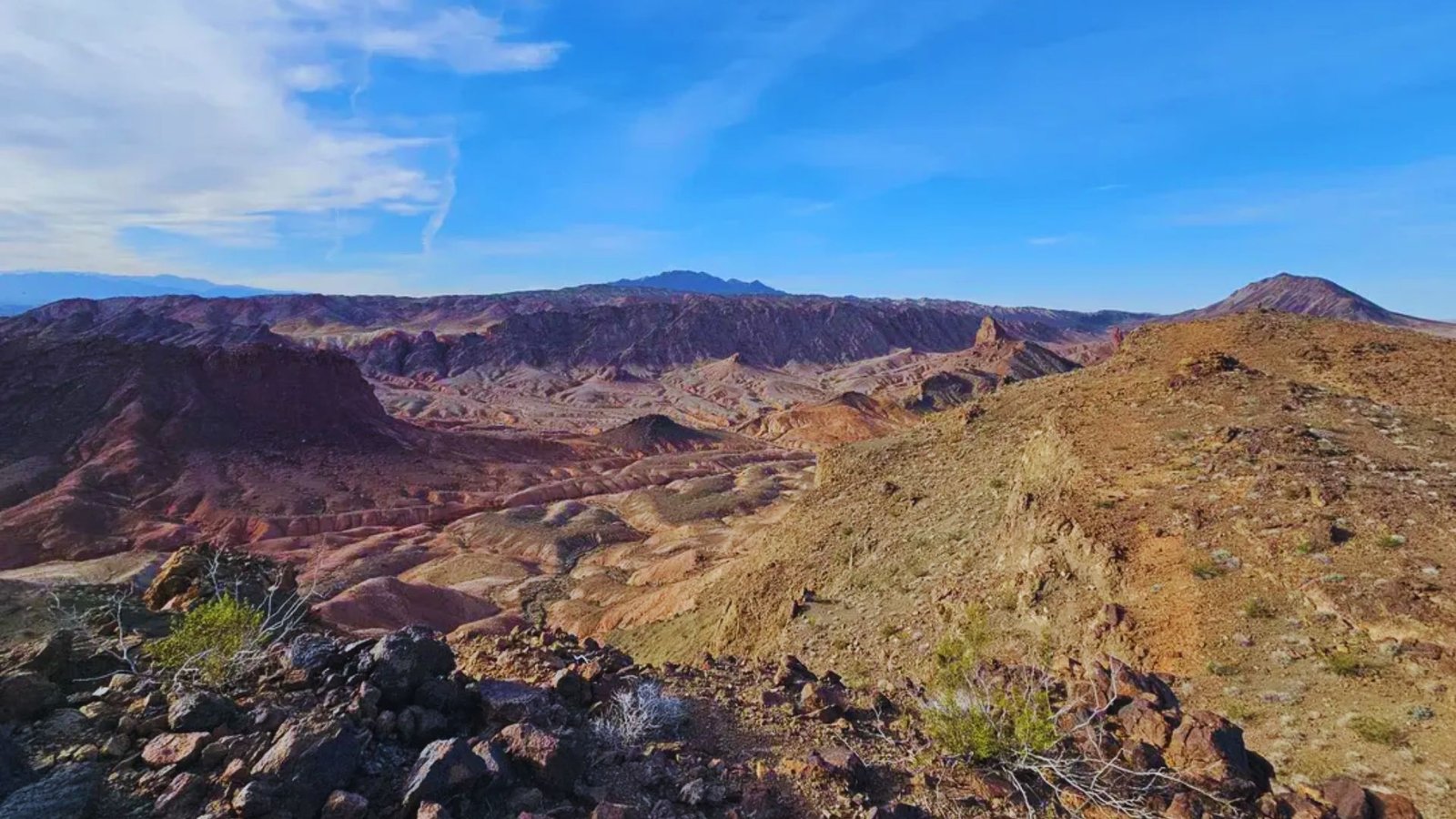
Death Valley National Park
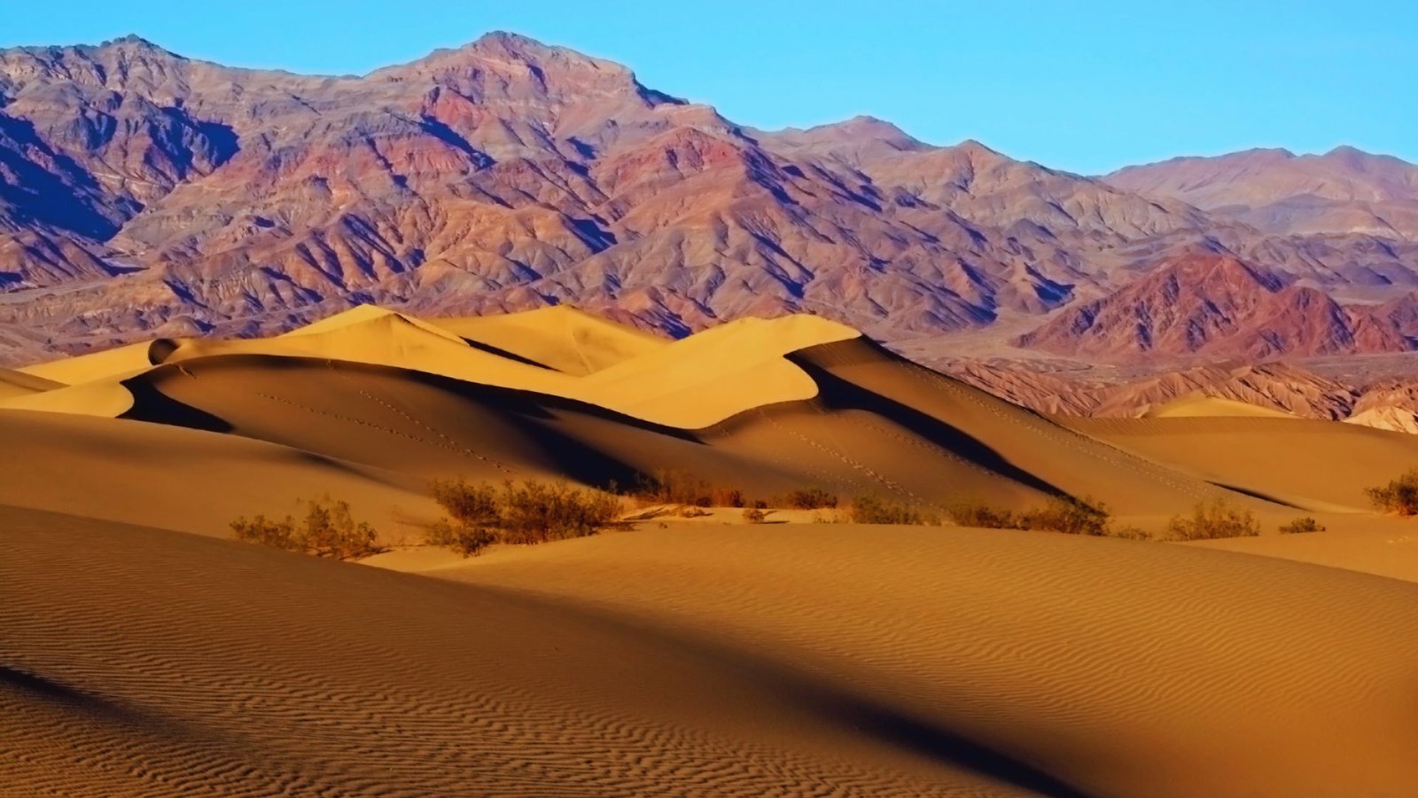
Death Valley lies 120 miles northwest of Vegas. This park holds the hottest temperatures on Earth. Only visit from November through March. Golden Canyon Trail shows off colorful badlands formations in 3 miles.
Mosaic Canyon features smooth marble walls perfect for photos. Mesquite Flat Sand Dunes let you climb giant sand mountains. I love the stark beauty here, but respect the extreme conditions. Park entry runs $30 per car.
Grand Canyon South Rim
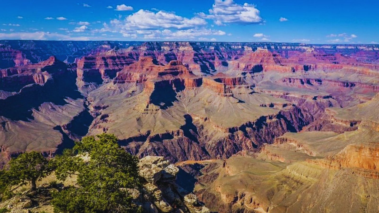
The South Rim sits 280 miles southeast of Vegas, roughly 4.5 hours away. Bright Angel Trail descends into the canyon with excellent views. Most day hikers turn around at 1.5 Mile or 3 Mile Resthouse.
Going to the river requires overnight permits. Rim Trail offers easy paved walking along the canyon edge. Sunrise and sunset times bring the best light and colors. Entry costs $35 per vehicle, good for seven days.
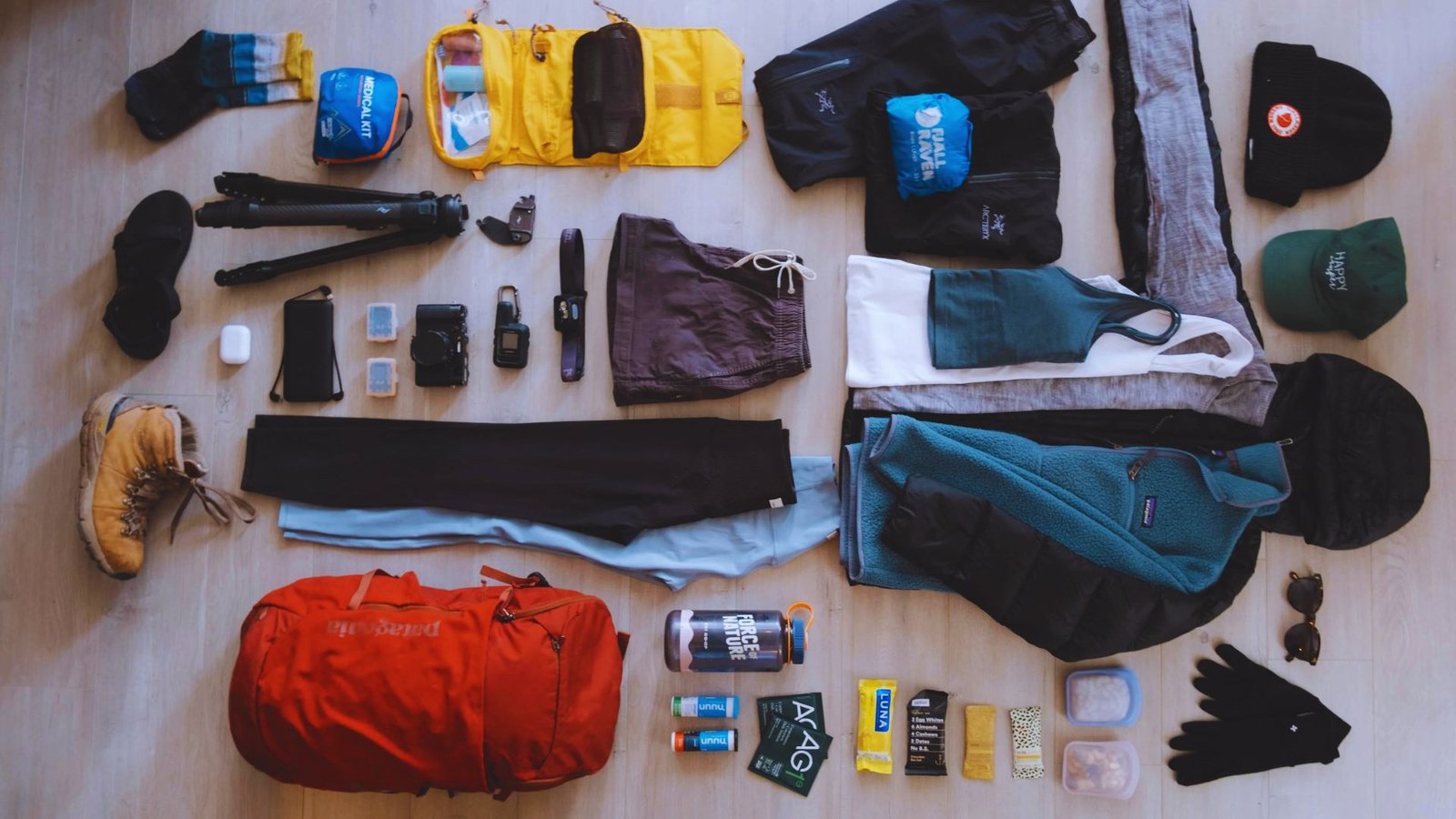
Tips for Hiking Near Las Vegas
Desert hiking requires different preparation than mountain or forest trails. Here’s what you need to know
- Start early in hot months. Summer temps can reach 115°F by noon. Begin hikes before 7 AM.
- Carry one liter of water per hour. Desert air dehydrates you fast. Pack extra in your car.
- Check the weather before leaving. Flash floods happen during monsoon season. Avoid canyons during storms.
- Download offline maps. Cell service disappears in many locations. Tell someone your plan.
- Bring sun protection. Hat, sunglasses, and sunscreen are must-haves. Shade is scarce.
- Check for permits and fees. Some areas require reservations or entrance payments.
- Wear sturdy footwear. Rocky trails need good ankle support and grippy soles.
- Know your limits. Turn back if conditions get dangerous or you feel unwell.
Conclusion
I hope this guide helps you find the right Las Vegas hikes. The desert surprised me the first time I visited. What looked like empty wasteland turned into colorful canyons, hidden springs, and excellent views. Start with an easy trail near the city.
Work your way up to the hot springs or a national park trip. Just remember to pack water, check the weather, and start early.
The trails are waiting. Which one will you try first? Drop a comment below and tell me about your desert hiking plans.
Frequently Asked Questions
What is the best time of year for Las Vegas hikes?
October through April gives you the best weather with cool mornings and comfortable temps. Summer gets too hot for safe hiking, especially midday.
Do I need permits for hiking near Las Vegas?
Most trails don’t need permits, but some popular spots do. Red Rock Canyon and Zion’s Angels Landing require reservations, so check before you go.
How much water should I bring on desert hikes?
Carry at least one liter per hour of hiking. The desert air dries you out fast, so bring more than you think you need.
Are there easy hikes for beginners near Las Vegas?
Yes, Railroad Tunnel Trail and Lake Las Vegas paths offer paved, flat routes. Lone Mountain Trail and Red Rock have short, gentle options too.
Can you really find hot springs near Las Vegas?
Yes, Gold Strike Hot Springs and Arizona Hot Springs sit about an hour from Vegas. Both require moderate hiking and work best in cooler months.