
The California Riding and Hiking Trail offers 100+ miles of desert trekking through some of Southern California’s most remote landscapes.
This guide covers everything you need to plan your CRHT backpacking trip successfully.
You’ll learn where to find trail maps, how to cache water, which permits you need, and when to go. We’ve hiked this trail multiple times and gathered practical tips that work.
This article includes detailed itineraries, safety advice, and gear lists to help you prepare.
From Joshua Tree to Anza-Borrego Desert, you’ll get the real information needed for a safe, rewarding experience on the CRHT.
Why Hike the California Riding and Hiking Trail?
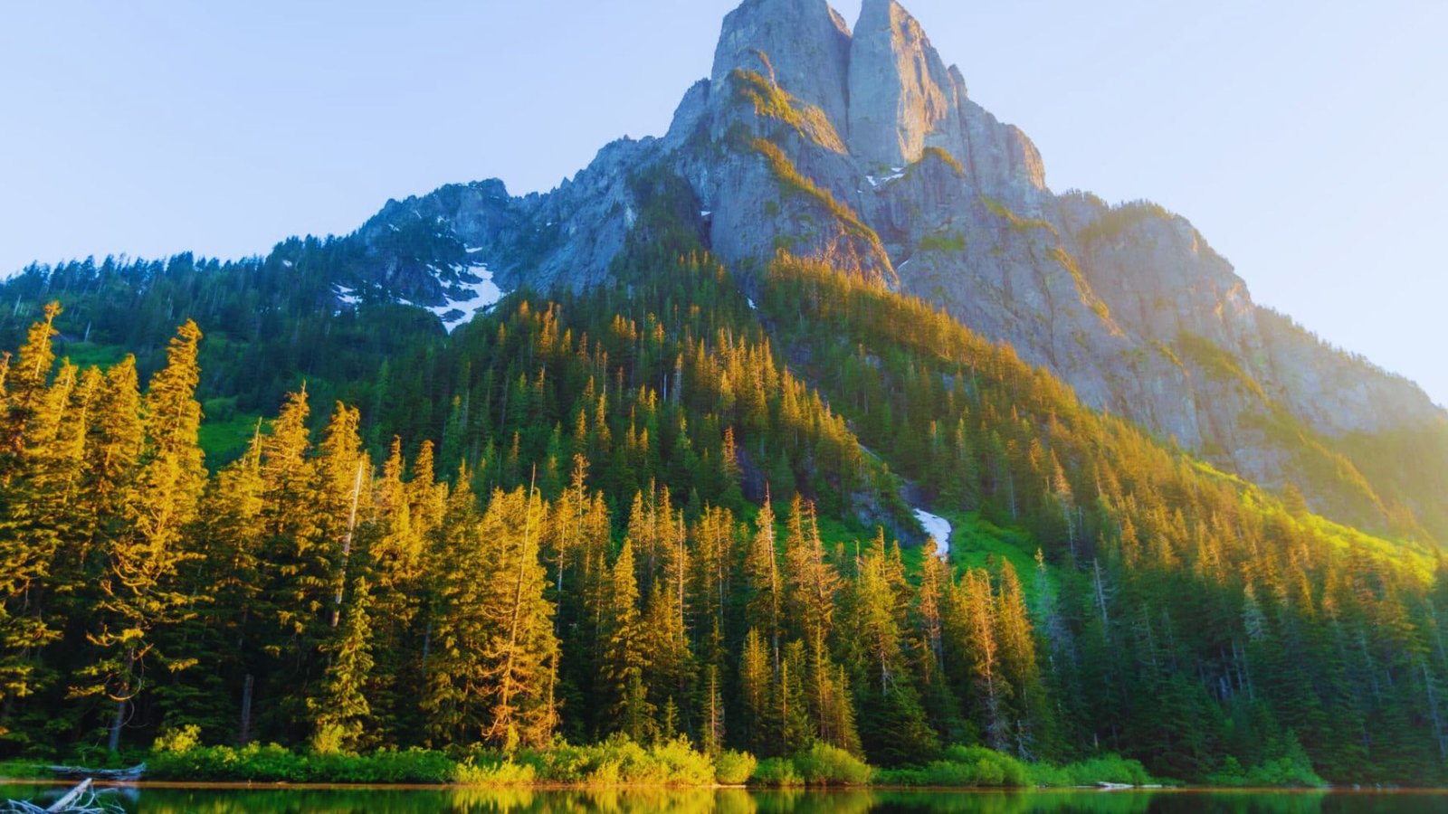
The CRHT offers a true desert wilderness experience with varied terrain and serious solitude. The trail passes through two distinct desert ecosystems.
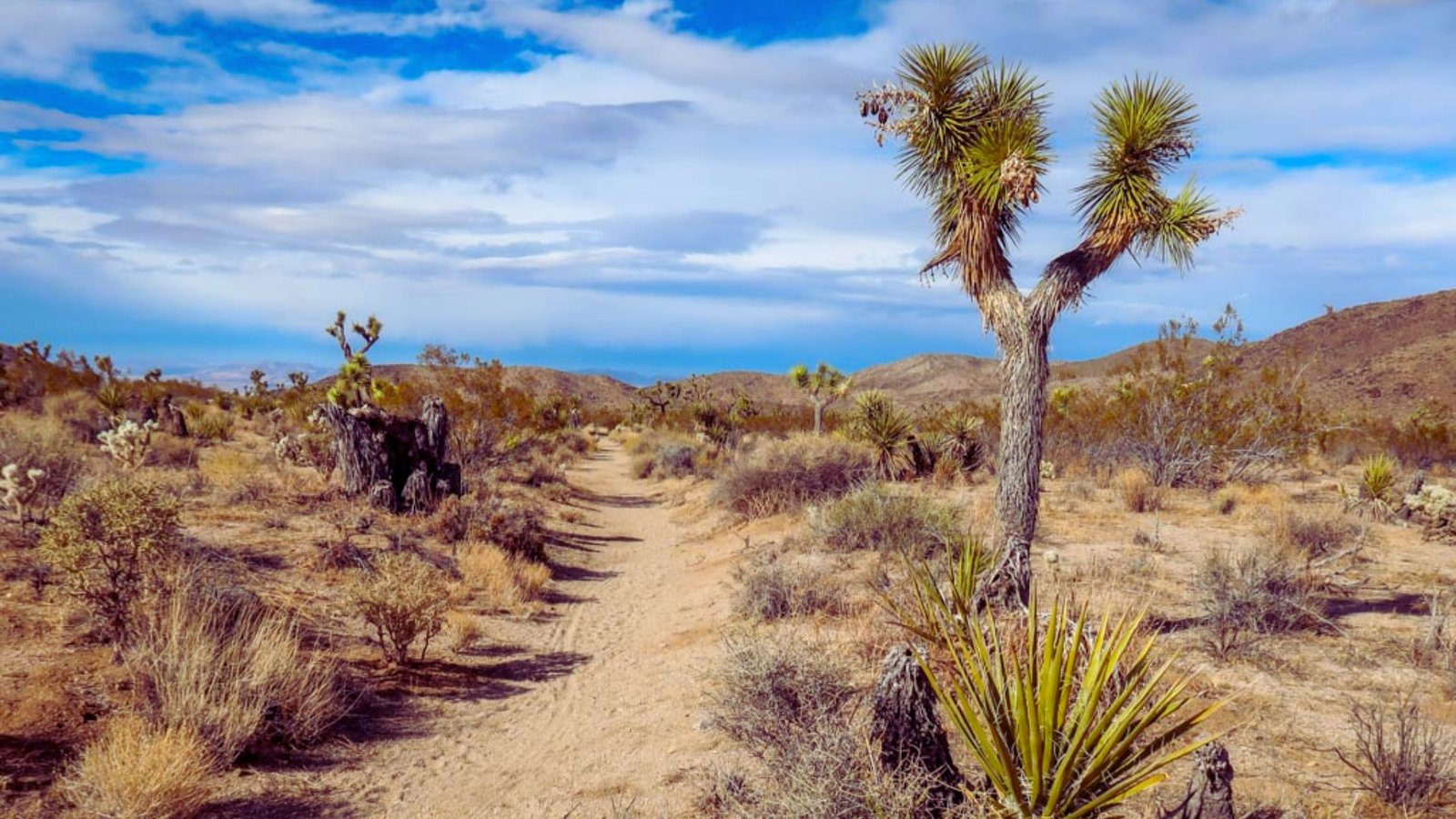
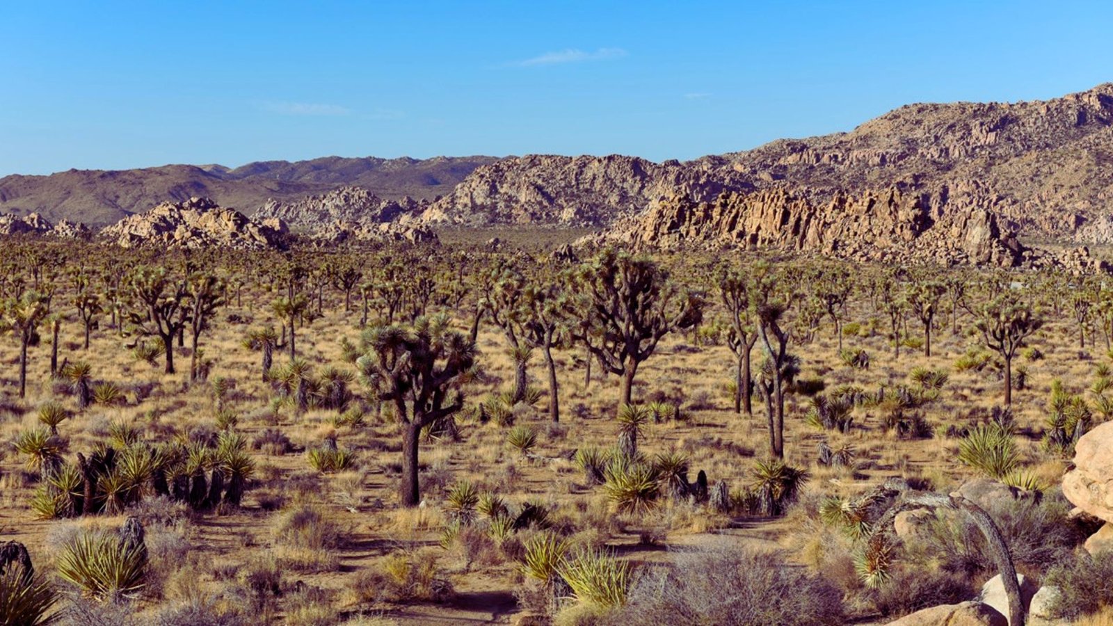
High desert sections feature Joshua trees, pinyon pines, and granite boulders. Lower sections transition into Sonoran Desert terrain with ocotillo, cholla cactus, and wide-open vistas.
Rock formations include massive granite outcrops and sculpted badlands.
You’ll likely see more bighorn sheep than people on this trail. The CRHT remains one of Southern California’s least-crowded long trails.
No cell service for most of the route means genuine disconnection. Night skies here are exceptionally dark, perfect for stargazing.
The trail was built for multiple user groups. Hikers, backpackers, and equestrians all use the CRHT. Day hiking sections near trailheads work well for testing gear or building fitness.
Backpacking the entire trail typically takes 2 to 5 days depending on your pace. Most people choose 3 to 4 day itineraries.
California Riding and Hiking Trail (CRHT) Complete Guide
Your essential resource for hiking California’s desert CRHT across Joshua Tree and Anza-Borrego.
Maps & Navigation
Critical tools and resources for safe CRHT navigation in remote desert terrain.
Get official trail maps at Joshua Tree visitor centers or download from the park website. For San Diego County sections, contact Anza-Borrego Desert State Park or check the Anza-Borrego Foundation.
Always supplement with detailed maps as official versions have limited scale.
Best offline apps include FarOut (formerly Guthook) for water sources and campsites, CalTopo for custom maps with satellite imagery, and Avenza Maps for georeferenced PDFs.
Always carry paper maps as backup-technology fails in the desert.
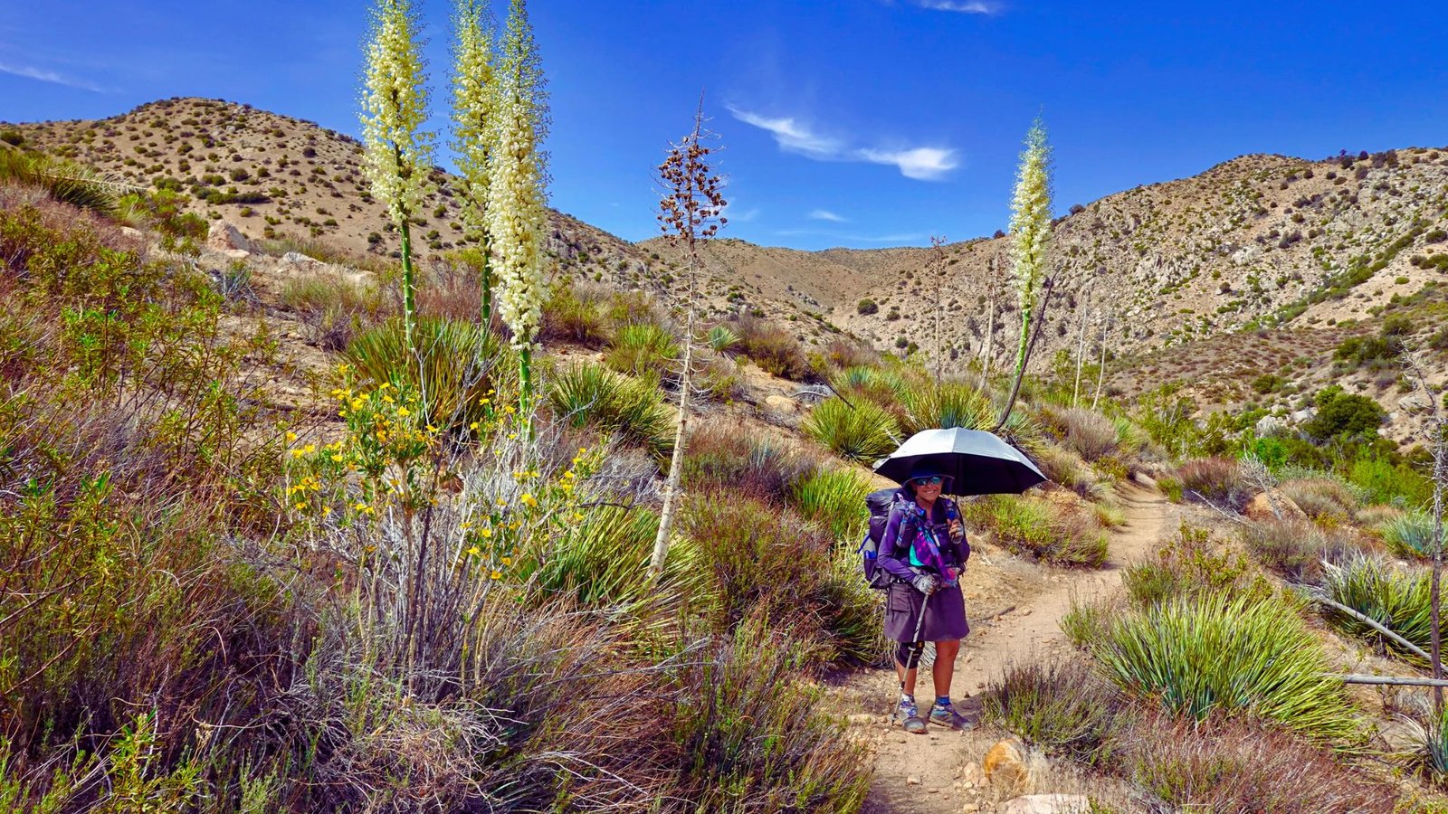
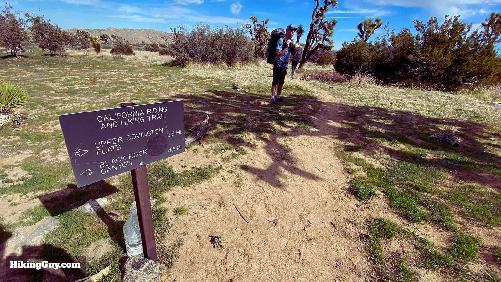
Joshua Tree Section
The most popular CRHT segment featuring iconic desert landscapes and granite formations.
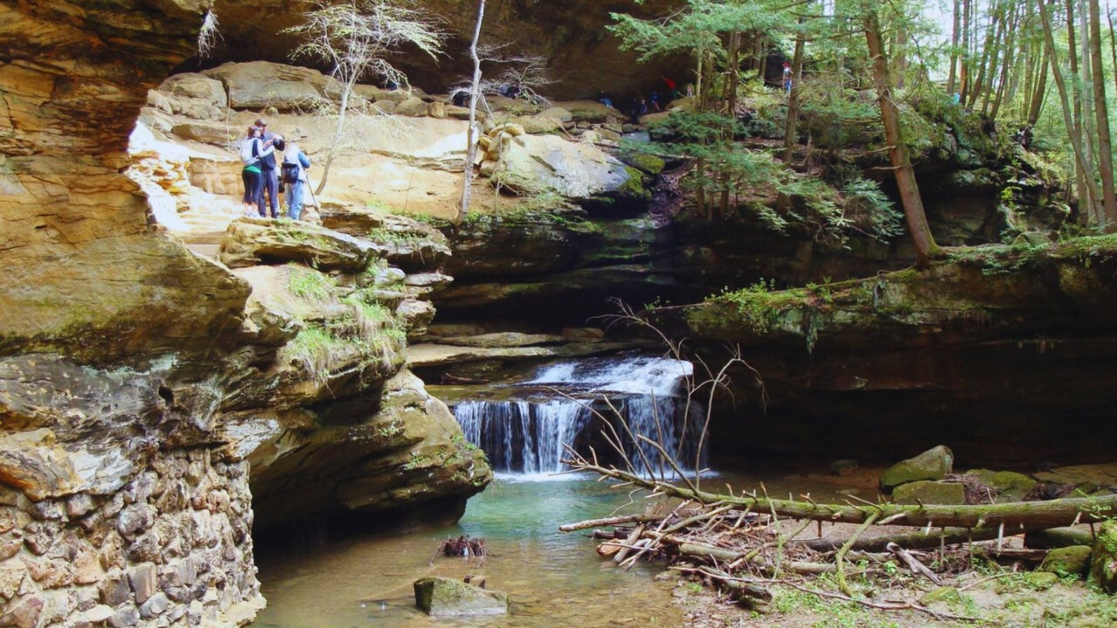
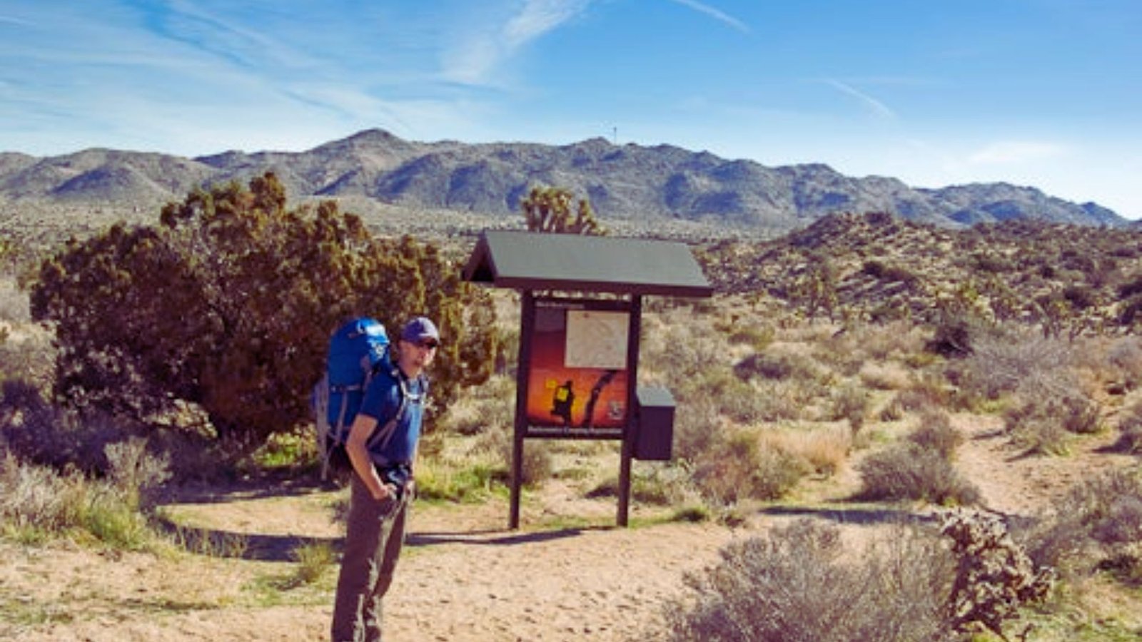
The trail starts at Black Rock Campground and climbs through pinyon-juniper woodland to Warren Peak (5,100 feet) with expansive views.
Massive granite boulders, Joshua trees, and California fan palm oases mark the route. Key landmarks include Juniper Flats, Keys View Road crossing, and North Entrance Station.
Typical itineraries: 2 days (19 miles/day for fit hikers), 3 days (12-13 miles/day for photos and rest), or 4 days (under 10 miles/day for heavy packs or heat).
Customize based on fitness and conditions.
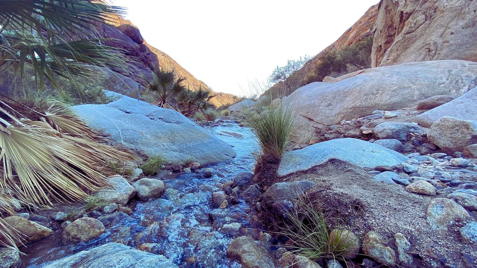
Southern California Sections
Open desert terrain across Anza-Borrego and San Diego County with a different character than Joshua Tree.
The trail runs through Anza-Borrego Desert State Park, Cuyamaca Rancho State Park, and San Felipe Valley. Some original sections no longer exist.
Popular day hikes include Borrego Palm Canyon (palm oasis), Culp Valley (desert views), and Sunrise Highway (cooler elevations).
The Pacific Crest Trail and Cleveland National Forest offer connecting routes.Check conditions before hiking-parts are unmaintained.
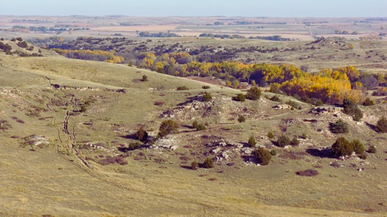
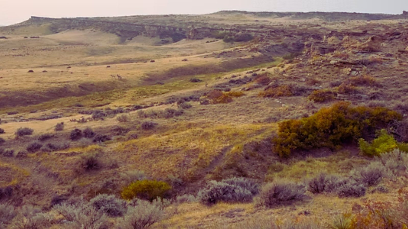
Anza-Borrego Terrain & Timing
Dramatic badlands and wide vistas in California’s largest state park.
Expect more open landscape than Joshua Tree with eroded badlands, lower elevations, and sand/gravel surfaces.
Hike November through March for comfortable temperatures. Winter is coolest; spring (March-April) offers spectacular wildflowers after wet years.
Avoid summer completely-temperatures regularly exceed 110°F. Water is extremely scarce, shade is minimal, and flash floods threaten narrow washes.
Watch for rattlesnakes in warmer months.
Trail History
An ambitious 1970s vision that became a fragmented but valuable desert trail system.
Conceived as a 500+ mile route connecting multiple parks for hikers and equestrians, the CRHT began construction with accessible sections built by volunteers and government crews.
Budget constraints, maintenance challenges, and shifting user groups limited completion. Land ownership issues and focus on trails like the PCT diverted resources.
Today’s remaining sections represent the best completed segments that maintain value for hikers.
Best Timing
Desert temperatures vary dramatically-timing determines success or danger.
Prime Season: Fall (October-November) offers cooling temps and stable weather. Winter (December-February) brings cold nights but pleasant days.
Avoid: Summer (June-September) is dangerously hot-temperatures exceed 100°F regularly. Late spring (May-June) gets uncomfortably hot. Holiday weekends bring crowds.
Best Views: Late February-April for wildflowers (desert marigolds, lupines, brittlebush). Winter and fall for clearest visibility.
California Riding and Hiking Trail Essentials
Key information for a successful CRHT trip.
Hike October through February for best conditions. Early spring works before heat. Summer exceeds 100°F and is dangerous. Wildflowers peak late February through April.
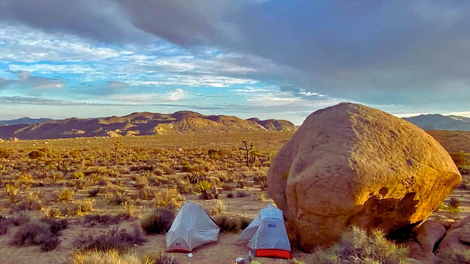
Joshua Tree requires free backcountry permits. Camp 1+ mile from roads, 500 feet from water. No fires. Pack out all waste.
Carry 6-8 liters water capacity. Drink 4-8 liters daily depending on heat. Cache water at road crossings in labeled jugs.
Dispersed camping only. Avoid washes. Hang food. Check boots for scorpions.
Start at Black Rock Campground off Highway 62. Two-car staging or shuttles recommended.
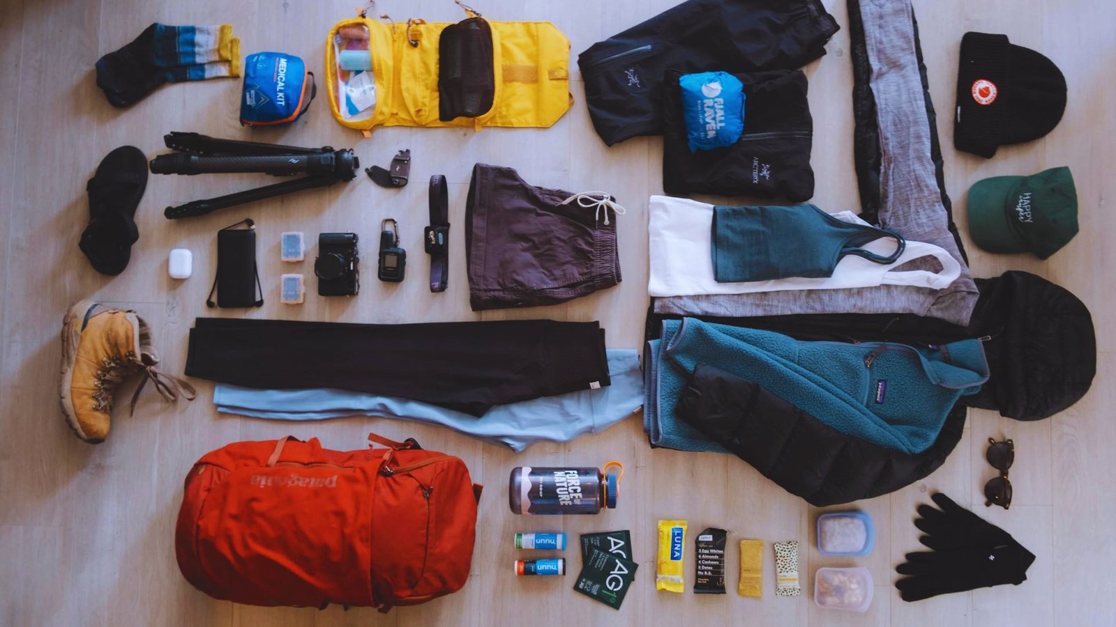
Pack lightweight shelter, 20-30°F sleeping bag, stove, synthetic layers, wide-brimmed hat, maps, GPS, first aid, satellite messenger.
California Riding and Hiking Trail Essentials
Critical information for hiking the CRHT.
Hike October through February. Early spring works before heat arrives. Summer is dangerously hot (100°F+). Wildflowers peak late February through April.
Joshua Tree requires free backcountry permits. Camp 1+ mile from roads, 500 feet from water. No fires. Pack out everything.
Carry 6-8 liters capacity. Drink 4-8 liters daily. Cache water at road crossings in labeled jugs.
Dispersed camping only. Avoid washes. Secure food. Check boots for scorpions.
Start at Black Rock Campground (Highway 62). Use two-car staging or shuttles.
Essential gear: lightweight shelter, 20-30°F sleeping bag, stove, synthetic layers, wide-brimmed hat, maps, GPS, first aid, satellite messenger.
Trail Safety Tips
Critical safety for desert hiking on the CRHT.
- Hike October through early May only. Summer exceeds 100°F. Drink 4-8 liters daily. Wear long sleeves, a wide-brimmed hat, sunscreen.
- Carry paper maps, compass, GPS with offline maps. Bring a satellite messenger for emergencies. Cell coverage is unreliable.
- Watch for rattlesnakes. Shake boots for scorpions. Secure food from wildlife. Wear long pants.
- Never camp in dry washes. Flash floods occur with little warning. Carry warm layers for winter storms.
Conclusion
You now have the tools to plan a successful California Riding and Hiking Trail trip. From water caching to itinerary planning, these strategies come from real desert backpacking experience.
The CRHT rewards preparation and respect for the desert environment. I’ve found that careful planning makes the difference between struggle and enjoyment out there.
Ready to test your skills? Check current conditions, gather your gear, and start planning your dates.
Share your CRHT experience in the comments below. What section are you planning to hike first?
Frequently Asked Questions
Is the California Riding and Hiking Trail Good for Beginners?
The CRHT is not recommended for beginner backpackers. The trail requires experience with desert conditions, water management, and self-sufficient camping before attempting it.
Can You Ride Horses on the CRHT?
Yes, horses are allowed on the California Riding and Hiking Trail. The trail was specifically designed for equestrian use along with hiking, though riders must follow additional stock regulations.
Are Dogs Allowed?
Dogs are allowed on the CRHT in Joshua Tree National Park but must be leashed. Check specific regulations for other trail sections, as rules vary by land management agency.
Can You Hike Only a Section of the Trail?
Absolutely. Most hikers complete only portions of the CRHT rather than the full route. Day hikes and overnight sections near trailheads make the trail accessible without full commitment.
What’s the Hardest Part of Hiking the CRHT?
Water planning and management present the biggest challenge on the CRHT. You must carry enough water between cache points and deal with the weight, which can exceed 20 pounds.