
Looking for an easy hike near Seattle? The Barclay Lake Trail is perfect for you. I’ve hiked this trail multiple times and it never disappoints.
This guide covers everything you need: distance details, trail maps, current weather conditions, driving directions, and trail status updates.
You’ll learn if the trail is open, where to park, and what to expect on the route. I’ll also share camping options and practical tips.
After years of hiking Washington trails, I know what beginners need to hear. Let’s get you ready for this beautiful mountain lake hike.
Barclay Lake Trail Overview
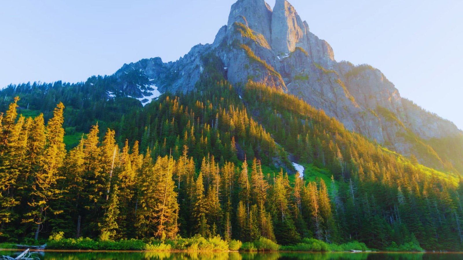
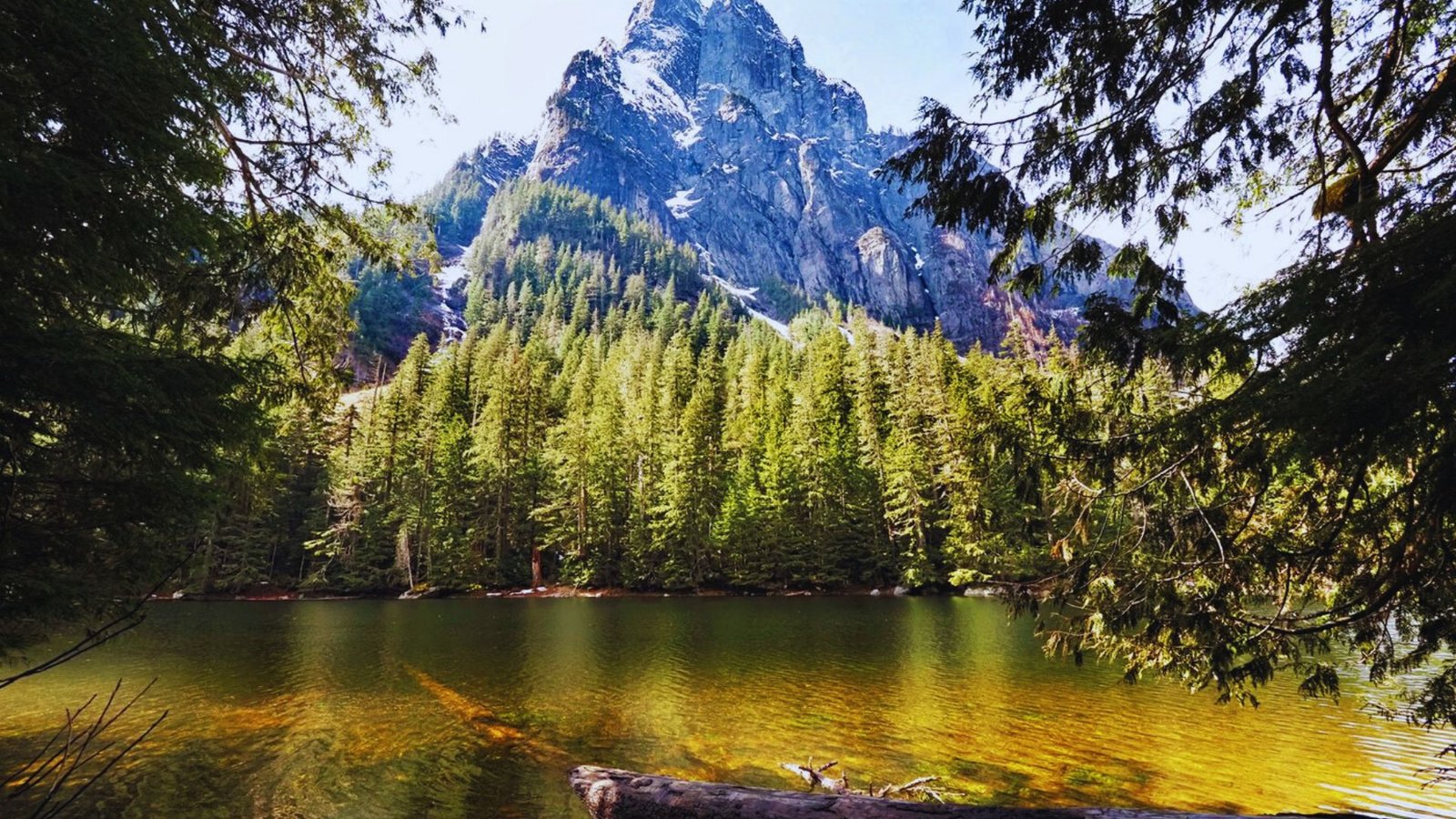
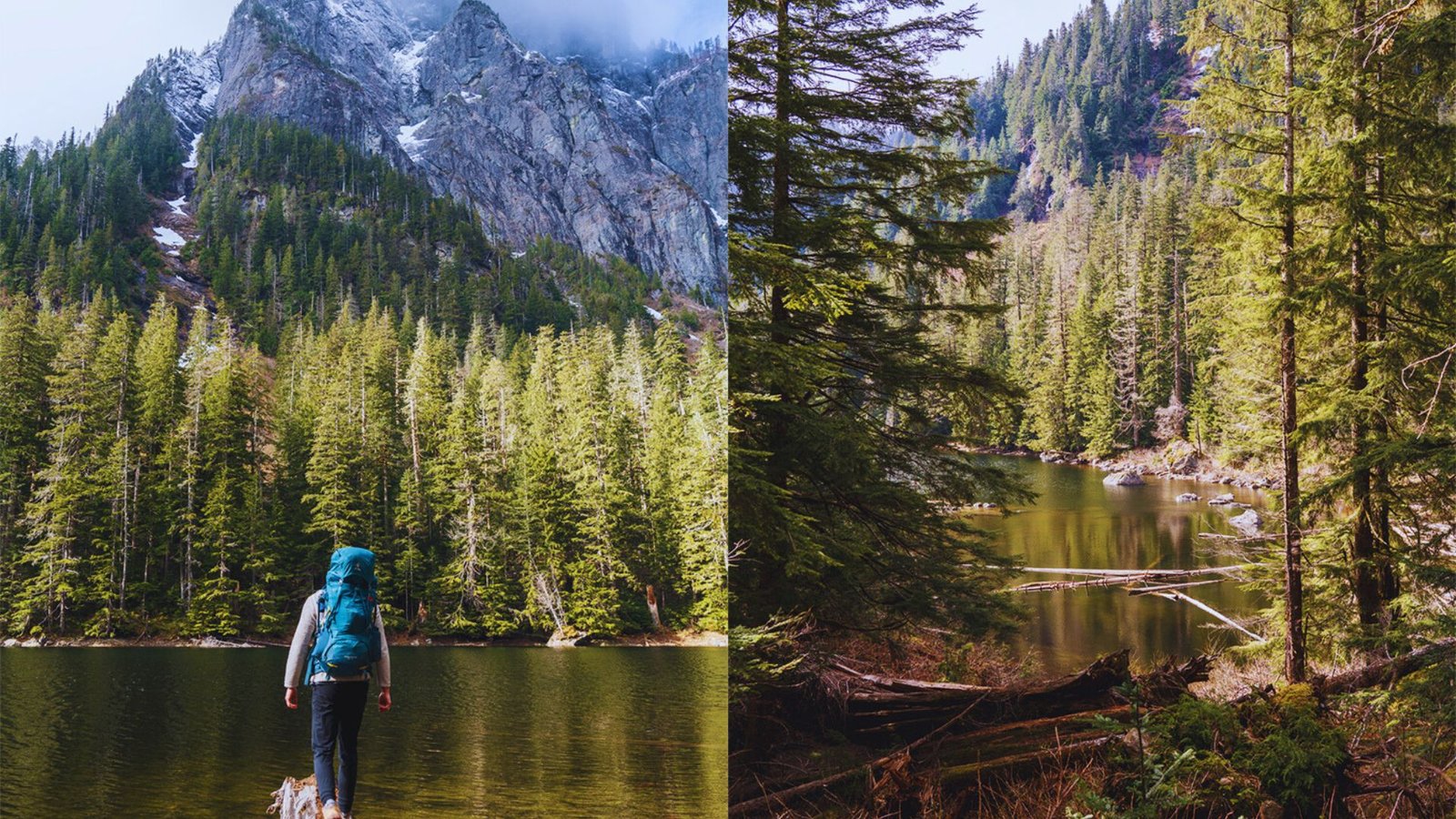
The Barclay Lake Trail sits in the Cascade Mountains east of Seattle. This out-and-back route takes you through old-growth forest to a pristine alpine lake.
The trail is located near Baring, WA and measures 4.8 miles round trip with around 500 feet of elevation gain. You’ll need a Northwest Forest Pass to park at the trailhead.
The terrain stays gentle from start to finish. You won’t face steep climbs or technical sections. This makes it perfect for families with kids or anyone new to hiking. First-time backpackers often choose this trail for overnight trips. The lake offers established campsites and a rewarding destination.
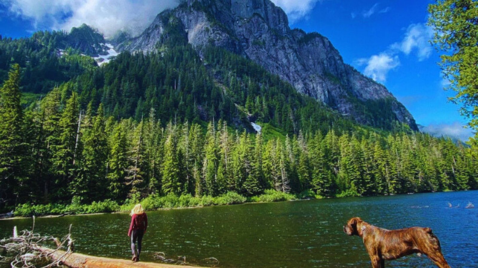
Baring Mountain towers above the lake’s north shore. The views are worth the 2.4-mile walk in. Seattle-area hikers love this trail for weekend trips since the drive takes less than two hours from the city.
Barclay Lake Trail Distance and Difficulty
A manageable 4.8-mile hike with minimal lifts gain, making it one of Washington’s most beginner-friendly mountain trails.
Total Distance and Elevation Gain
The trail measures 4.8 miles round trip. You’ll hike 2.4 miles to reach the lake, then return the same way. The elevation gain totals about 500 feet. This spread over nearly 2.5 miles means gentle grades throughout.
Is Barclay Lake Trail Easy?
Yes, this trail ranks as easy. The path stays wide and well-maintained. You won’t scramble over rocks or climb steep switchbacks. Families with young children handle this hike regularly.
Kids as young as five or six complete it with breaks. Many people choose Barclay Lake for their first backpacking trip. The short distance and low difficulty build confidence for future adventures.
Barclay Lake Trail Location and Washington Park Details
Located near Baring in Mount Baker-Snoqualmie National Forest along the Highway 2 corridor east of Seattle.
Where Is Barclay Lake Trail Located?
The trailhead sits near Baring, Washington. This small mountain town lies on Highway 2. You’ll find it in the Highway 2 corridor, about 60 miles northeast of Seattle. The drive follows the scenic Mountain Loop area.
Is Barclay Lake Trail in Washington State Park?
No, this trail sits within Mount Baker-Snoqualmie National Forest. The U.S. The Forest Service manages the area, not Washington State Parks. This means you need a Northwest Forest Pass instead of a State park parking pass.
Barclay Lake Trail Directions and Parking Information
Accessible via Highway 2 and Forest Road 6024, with parking for about 20 cars at the trailhead.
Driving Directions from Seattle
Take US-2 east from Seattle toward Stevens Pass. Drive about 55 miles past Monroe. Watch for milepost 41.
Shortly after, you’ll see signs for Barclay Lake Trail. Turn left onto Forest Road 6024. Follow this road for about 4.5 miles to the trailhead.
Forest Road 6024 Conditions
The forest road has potholes and rough patches. Drive slowly and watch for rocks. Low-clearance cars can make it, but use caution.
I’ve seen sedans at the trailhead many times.High-clearance vehicles handle the road more easily. SUVs and trucks have no issues.
Parking and Pass Requirements
The parking lot holds about 20 cars. Overflow parking exists along the road shoulder. You must display a Northwest Forest Pass. Rangers check regularly and write tickets.
Get passes online, at ranger stations, or at some outdoor retailers. Day passes cost $5, annual passes cost $30. Arrive early on summer weekends. The lot fills by 9 AM on nice days.
Is Barclay Lake Trail Open? Closures and Trail Status
Trail accessibility depends on seasonal snow melt, fire conditions, and road maintenance throughout the year.
Seasonal Accessibility
Spring brings melting snow. The trail usually opens in late May or early June. Lower elevations clear first.
The road might be passable before the trail itself. Winter snow closes the trail completely. Don’t attempt this hike from November through April.
Fire Closures and Emergency Alerts
The Bolt Creek Fire closed this area in 2022. Always check for current fire restrictions. Wildfires can shut down trails suddenly. Don’t assume it’s open just because it was last week.
How to Check Current Trail Status?
Visit the Forest Service website for Mount Baker-Snoqualmie National Forest. They post closure alerts.
Call the Skykomish Ranger District at (360) 677-2414 for road and trail conditions. Check the Washington Trails Association trip reports. Recent hikers share current conditions.
Barclay Lake Trail Map and Route Overview
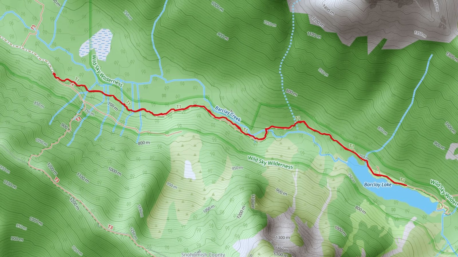
A straightforward forest valley route following Barclay Creek to the lake with clear trail markers throughout.
Out-and-Back Trail Layout
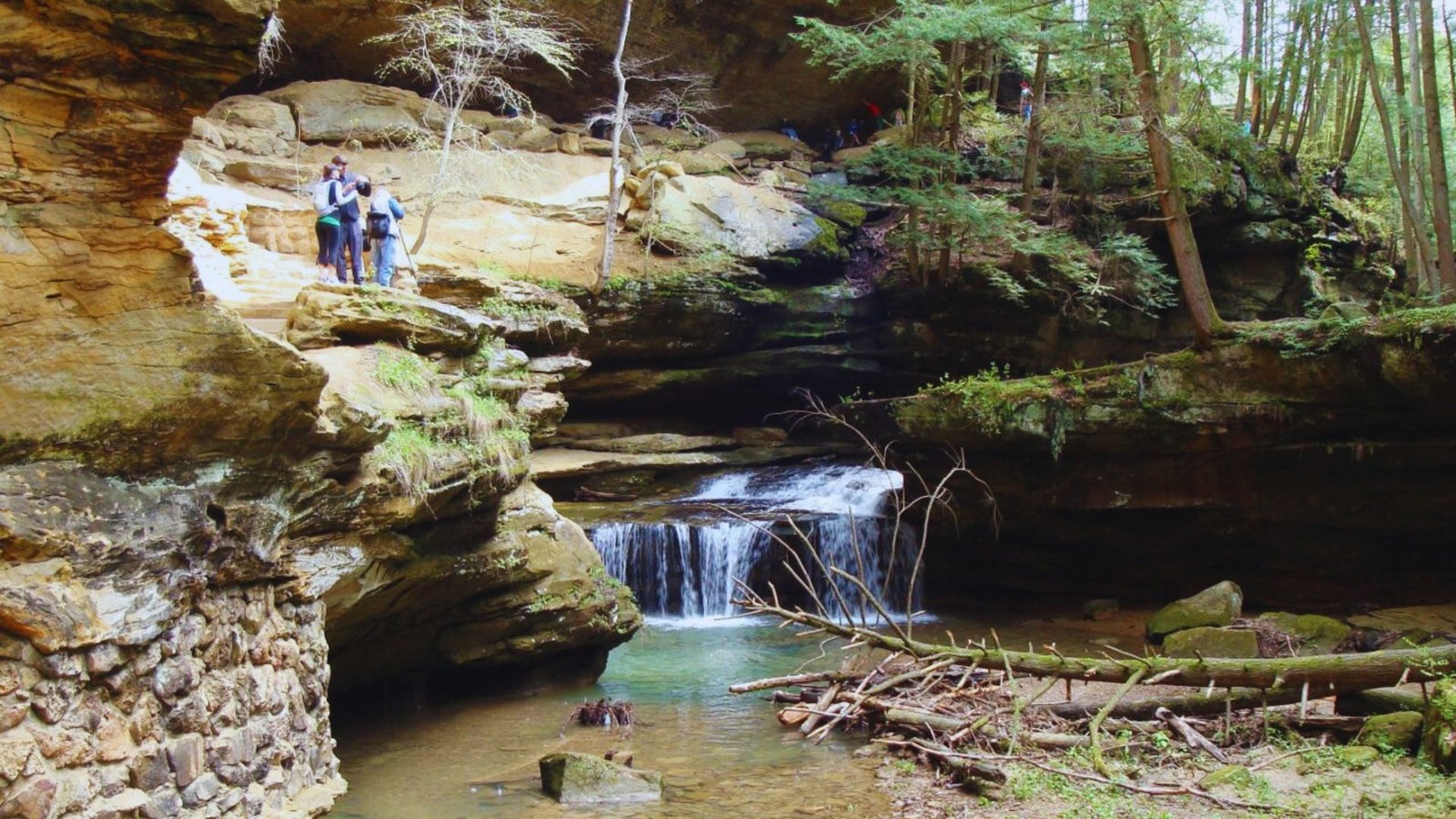
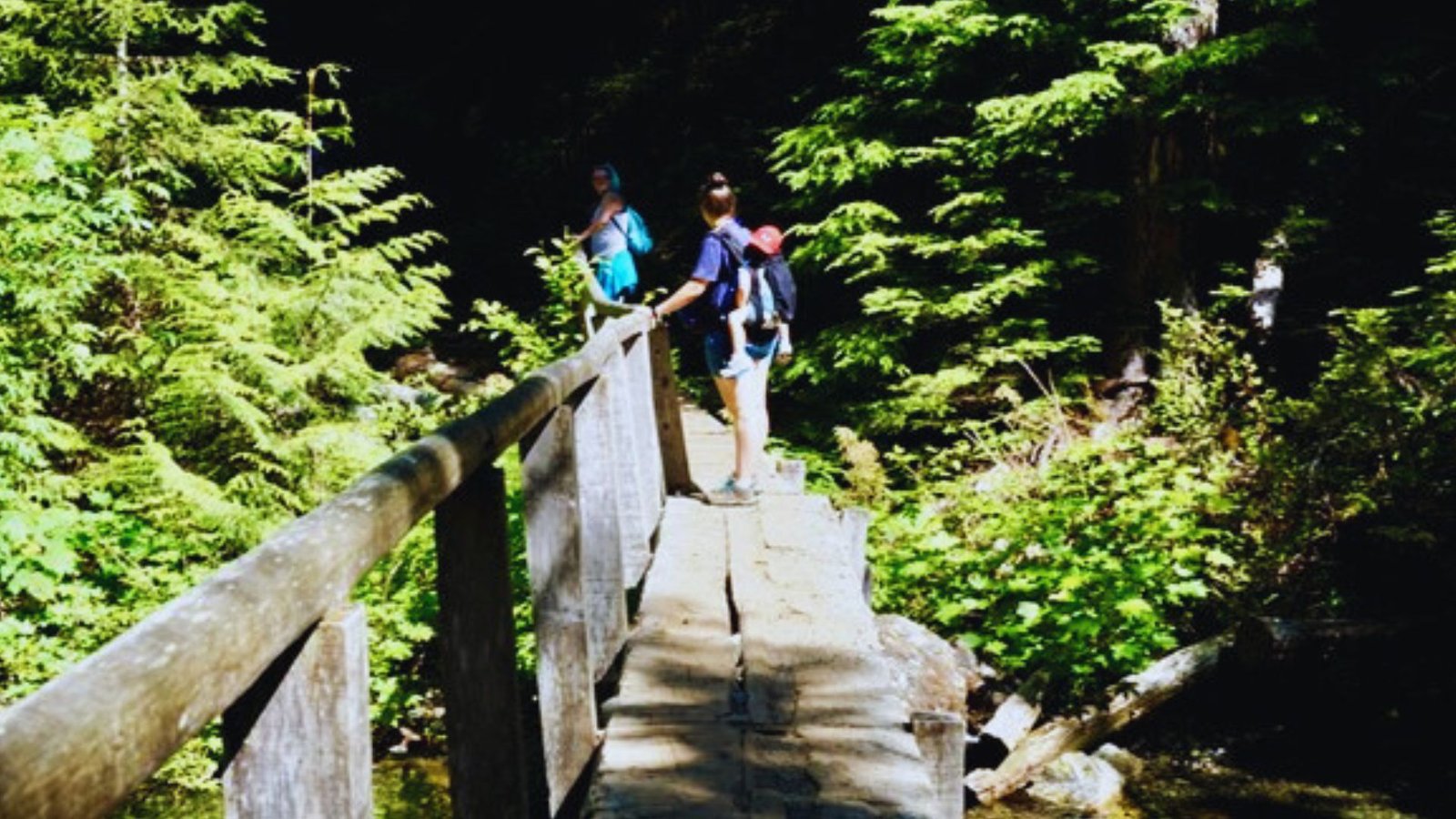
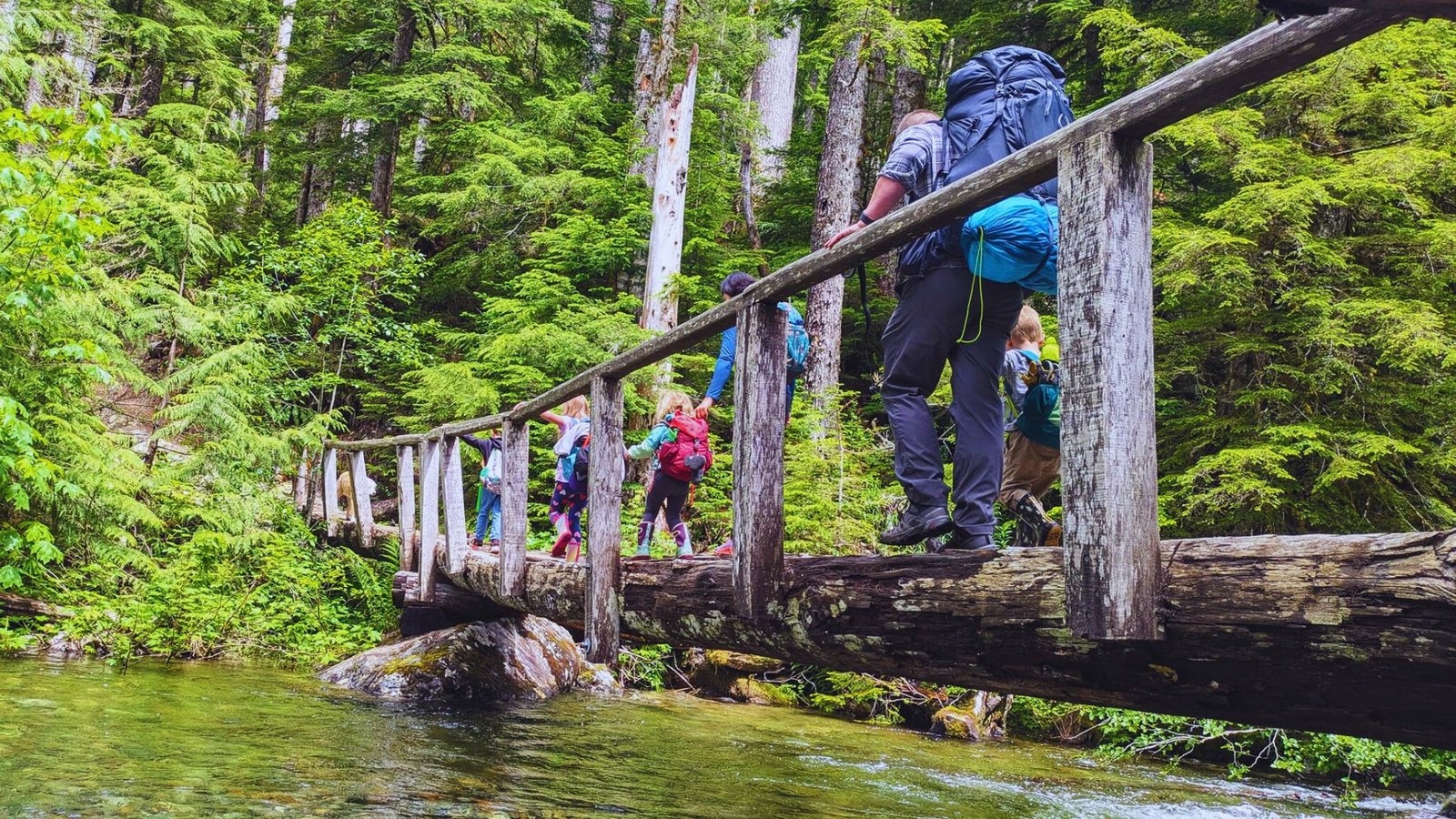
The trail follows a forest valley for the entire route. You’ll walk through old-growth cedars and hemlocks. Barclay Creek runs alongside the path. You’ll cross it on a sturdy bridge about halfway to the lake. The trail stays relatively flat. Small ups and downs keep it interesting without being difficult.
Navigation Tips
The path is well-marked and obvious. You won’t need GPS or a paper map, though carrying one is smart. Stay on the established trail. Cutting corners damages plant life and creates erosion.
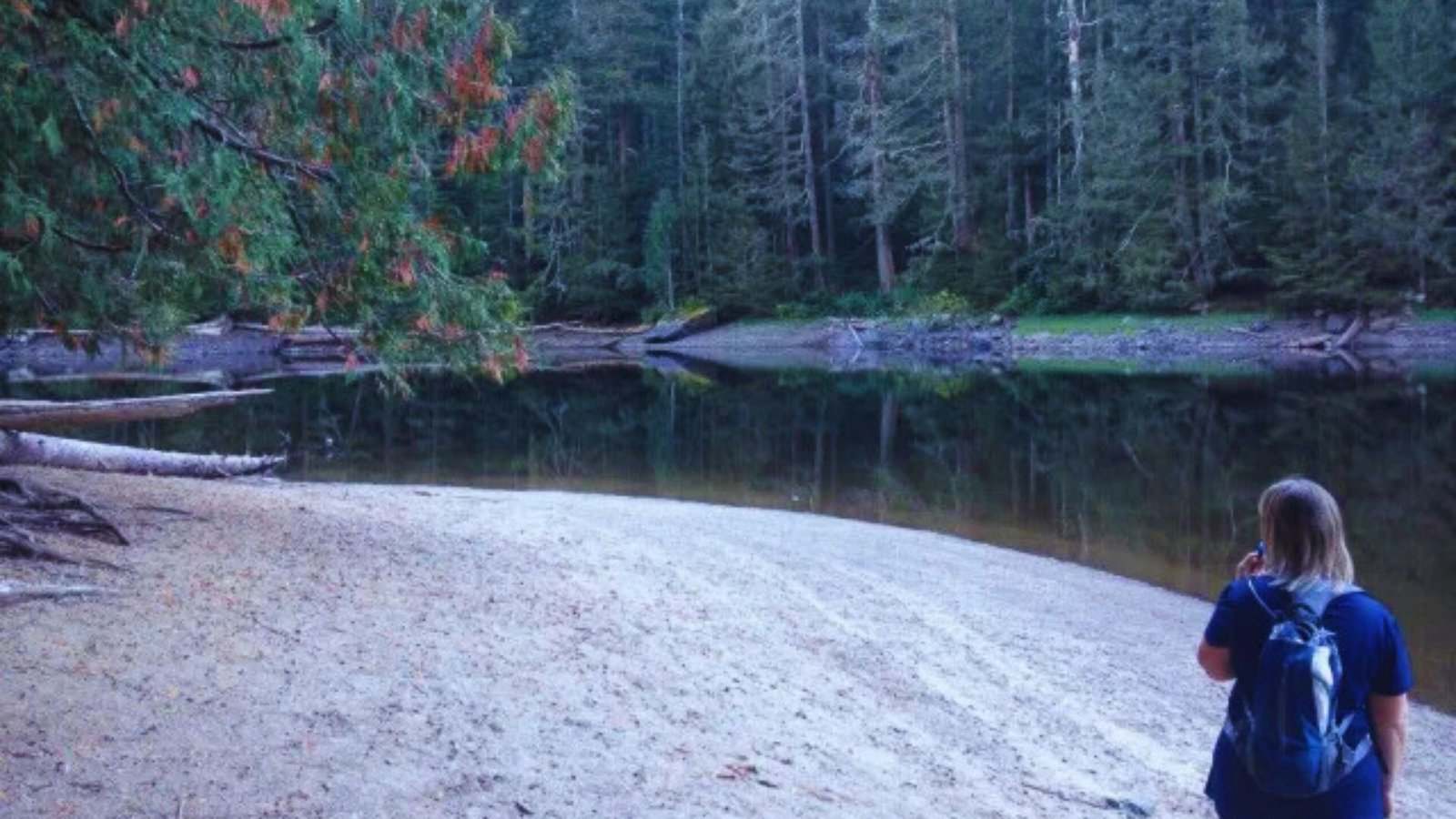
The final approach opens to views of the lake. You’ll know you’re close when the forest thins out.
Barclay Lake Trail Weather and Best Time to Visit
Summer offers the most reliable conditions, while fall brings solitude and spring requires careful timing.
Spring Conditions
Early season access depends on snowmelt. Late May often works, but June is more reliable. The creek runs high in spring. The bridge crossing stays safe, but expect loud water.
Summer Hiking Weather
Warm days from July through September provide ideal conditions. Temperatures reach the 70s in the valley. The shaded forest keeps you cool on hot days.
Pack sunscreen for time at the lake. Afternoon thunderstorms happen occasionally. Start early to finish before the weather turns.
Fall and Winter Considerations
Fewer crowds visit in September and October. You might have the trail to yourself on weekdays. Snow arrives by late October.
The bridge gets icy and dangerous. Winter closes the trail completely. Don’t risk it from November through May.
Essential Tips for Hiking Barclay Lake Trail
Practical planning advice covering timing, gear, road safety, and preparation for a successful hike to the lake.
- Start early to beat weekend crowds and secure parking
- Check trail status on the Forest Service website before driving out
- Bring layers since temperatures drop near the lake
- Drive slowly on Forest Road 6024 to protect your vehicle
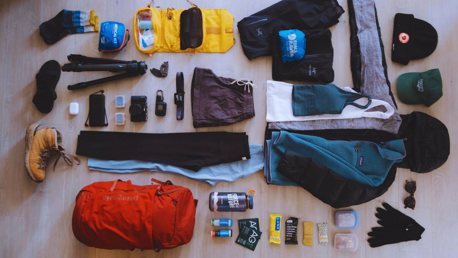
- Pack the 10 essentials including first aid, navigation tools, and extra food
- Wear sturdy shoes even though the trail is easy
- Bring a water filter if you plan to refill at the lake
Conclusion
The Barclay Lake Trail gives you mountain scenery without the hard work. I still remember my first visit here and how it built my confidence for bigger hikes. The gentle terrain, beautiful forest, and pristine lake make it a Washington classic.
Whether this is your first trail or your fiftieth, you’ll enjoy every step. Ready to plan your trip? Check the current trail status, grab your pass, and hit the road.
Drop a comment below about your Barclay Lake experience or share this guide with your hiking buddies.
Frequently Asked Questions
How long does it take to hike Barclay Lake Trail?
Most hikers complete the 4.8-mile round trip in 2.5 to 3.5 hours. Families with young children might take 4 hours with breaks.
Can I bring my dog to Barclay Lake Trail?
Yes, dogs are allowed but must stay leashed. Clean up after your pet and bring enough water for them.
Do I need a permit to hike Barclay Lake Trail?
You don’t need a hiking permit, but you must display a Northwest Forest Pass in your vehicle. Day passes cost $5.
Is Barclay Lake good for swimming?
The lake stays cold even in summer due to snowmelt. Most people just wade or cool their feet rather than swim.
What’s the best time of year to hike Barclay Lake Trail?
July through September offers the most reliable conditions. Weekdays in early fall provide great weather with fewer crowds.