
Looking for the best hikes in Switzerland? You’re in the right place. This guide covers top trails for every season and skill level.
I’ve gathered proven routes that work for beginners and experts alike. You’ll get seasonal tips, difficulty ratings, and regional breakdowns. Plus transport connections and timing strategies.
Switzerland’s trails are well-marked and safe. Public transport makes access easy. No guesswork needed. The infrastructure here beats anywhere else I’ve hiked.
Inside you’ll find maps, gear lists, and local insights. From Zermatt to Zurich, I’ve got you covered. Whether you have one day or one week, there’s a perfect trail waiting.
Why Switzerland Is Perfect for Hiking Enthusiasts
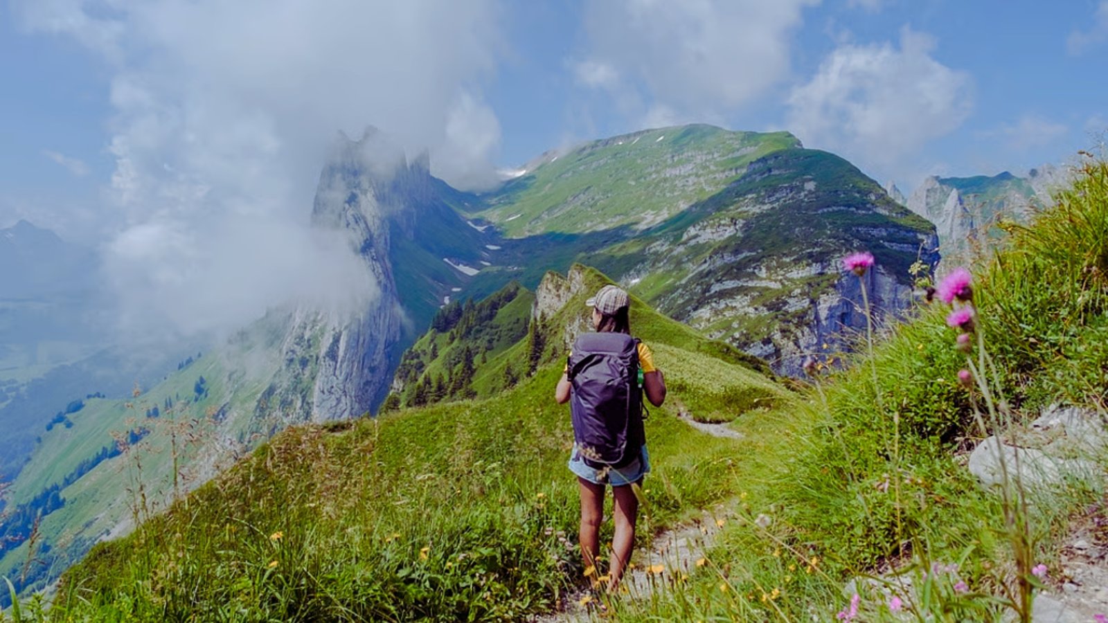
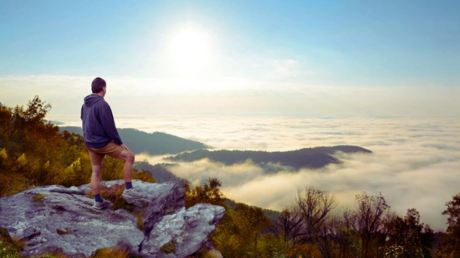
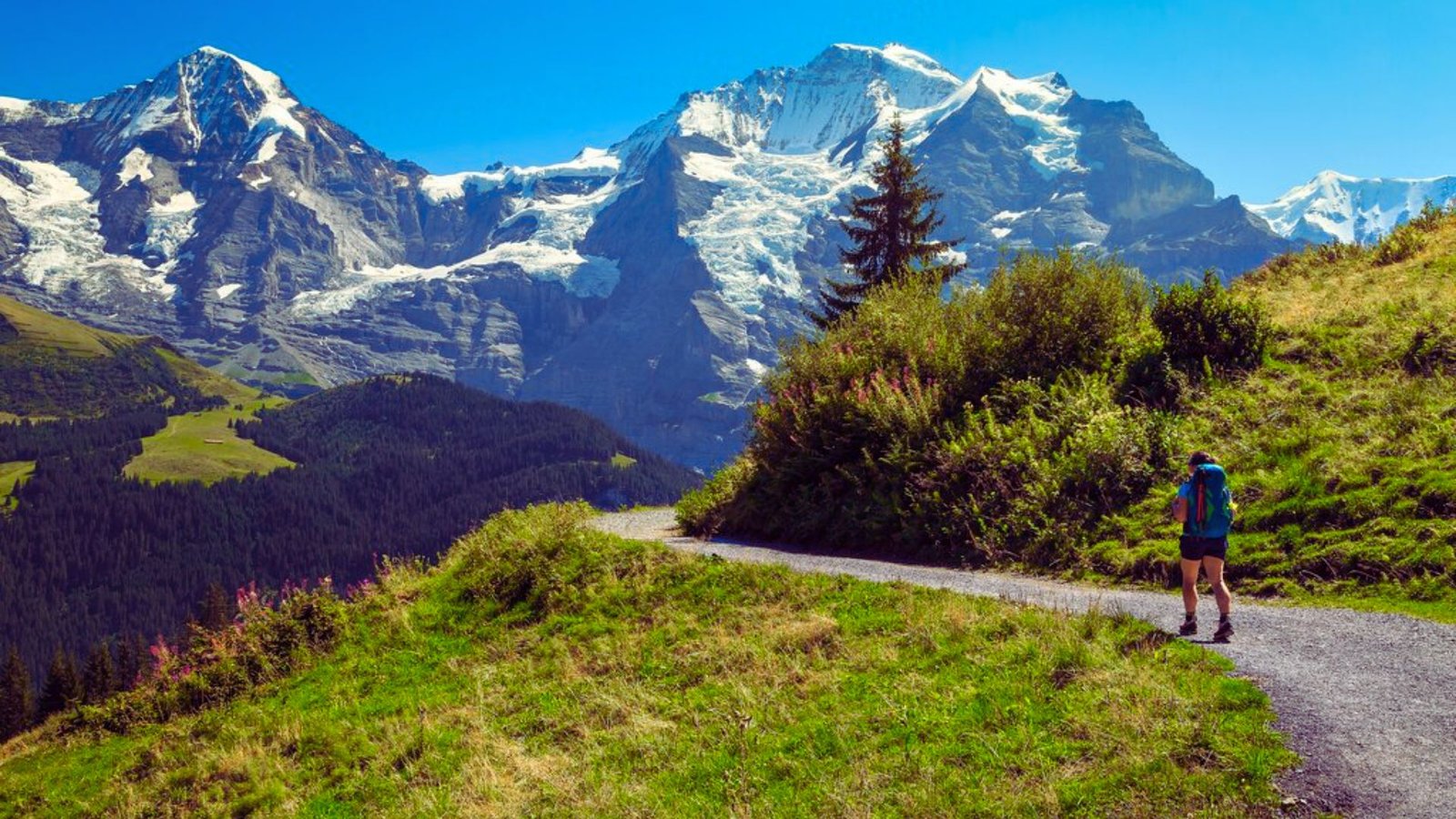
Switzerland offers some of the world’s best hiking conditions. The infrastructure is top-notch. Safety is a priority everywhere.
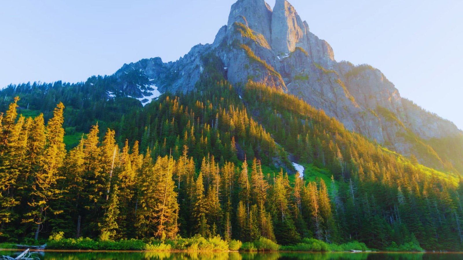
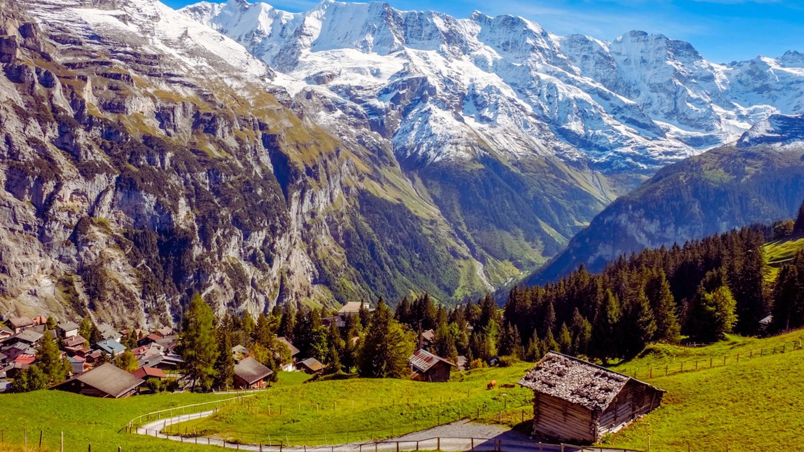
The Swiss Alps deliver jaw-dropping scenery. Massive glaciers sit next to green meadows. Snow-capped peaks rise above crystal-clear lakes.
The Aletsch Glacier alone stretches 23 kilometers, making it the largest in the Alps.
Trails follow strict marking standards. Yellow signs point the way on hiking paths.
White-red-white markers show alpine routes. Direction signs list destinations and times. You won’t get lost easily.
Trail maintenance happens year-round. Dangerous sections get barriers or warnings. Emergency phones dot popular routes. Rescue services respond quickly with helicopter evacuations available.
Public transport reaches most trailheads. Cable cars and trains eliminate long approaches. Mountain huts provide shelter and food. The system just works.
51 Best Hikes in Switzerland
These trails deliver the best combination of views, access, and experience across all regions.
10 Best Hikes in Switzerland (Our Top Selections)
Here are ten outstanding trails that showcase the best of Swiss hiking across different regions and difficulty levels.
- Eiger Trail (Grindelwald to Alpiglen): A 6-kilometer route beneath the Eiger North Face with close-up views of the 1,800-meter wall, moderate difficulty, 2.5 hours.
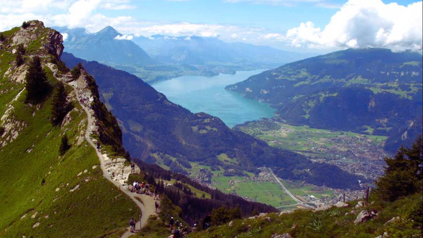
- Hardergrat Ridge (Interlaken region): A 24-kilometer exposed ridge walk with fixed cables and steep drops, for experienced hikers only, 8-10 hours.
- Five Lakes Walk (Zermatt): A 9-kilometer loop passing five alpine lakes with Matterhorn reflections, easy to moderate, 3 hours.
- Schynige Platte to First: A 15-kilometer high route through flower meadows with views of Eiger, Mönch, and Jungfrau, moderate, 5-6 hours.
- Via Alpina (Multiple sections): Twenty stages crossing Switzerland from Vaduz to Montreux through high passes and mountain huts, each stage lasting 5-8 hours.
- Oeschinen Lake Circuit (Kandersteg): A 5-kilometer loop around a UNESCO turquoise lake in a mountain amphitheater, easy, 2 hours.
- Aletsch Glacier Panorama Trail: An 8-kilometer path along the Alps’ largest glacier with climate change information panels, moderate, 3 hours.
- Säntis Summit via Ridge (Appenzell): Multiple routes to a 2,502-meter peak with views across six countries and chain-assisted sections, challenging, 4-6 hours.
- Engadine Valley Trek (St. Moritz region): Various trails through high valleys with sunny climate, mountain lakes, and traditional villages, all skill levels.
- Ticino Palm Trail (Lago Maggiore): Lower-elevation trails through Mediterranean vegetation and lakeside paths with year-round access, easy to moderate.
Spring & Early Summer Trails (April-July)
Lower elevation routes and wildflower meadows perfect for shoulder season hiking.
- Lake Geneva shoreline paths: Flat, family-friendly walks along Europe’s largest alpine lake connecting historic towns and vineyards with mountain backdrops.
- Ticino palm tree walks: Subtropical trails through chestnut forests and villages where palms grow alongside alpine peaks in Switzerland’s warmest region.
- Grimsel Pass routes: High-altitude trails crossing 2,165-meter passes between crystal-clear reservoirs and granite peaks with views of surrounding glaciers.
- Schynige Platte flower trails: Alpine botanical garden paths showcasing over 600 native plant species in bloom from June through August at 2,000 meters elevation.
Family-Friendly & Beginner Routes

Interactive themed trails and easy paths perfect for kids and first-time hikers.
- Muggestutz Dwarf Trail (Hasliberg): A 2.5-kilometer themed path featuring dwarf caves, playgrounds, and interactive stations that combine storytelling with mountain scenery.
- Fox Trail (Engadin): A puzzle-solving hike where families follow fox paw prints and solve riddles to reach the next station, available in multiple difficulty levels.
- Aare Gorge Walk: A 1.4-kilometer paved walkway through a dramatic 200-meter-deep limestone gorge with waterfalls and smooth rock formations carved by the Aare River.
- Pilatus Flower Trail: An educational loop identifying alpine plants with information boards, suitable for all ages with minimal elevation change near the summit station.
Ridge & High-View Hikes
Exposed ridge walks and summit trails require sure footing and good conditions.
- Augstmatthorn Ridge: A challenging 8-kilometer ridge route with less technical difficulty than Hardergrat but still offering thrilling exposure and Lake Brienz views.
- Faulhorn: A 2,681-meter summit accessible via multiple routes, featuring Switzerland’s oldest mountain hotel where hikers can overnight before sunrise hikes.
Near Zurich & Lucerne
Quick access trails perfect for city-based travelers and weekend trips.
- Rigi lower trails: Gentle circuits below the summit accessible year-round, connecting villages and viewpoints via well-groomed paths with minimal snow closure.
- Pilatus circuits: Routes ranging from easy lakeside loops to challenging summit ascents, all accessible via cable car or cogwheel railway from Lucerne.
- Klewenalp area: Family-oriented trails in central Switzerland with fewer crowds than Rigi, offering lake views and moderate elevation options near Beckenried.
Fall & Low-Elevation Options
Autumn foliage routes and lakeside paths accessible into October.
- Lake Lucerne shoreline paths: Level walking routes connecting lakeside towns with ferry dock access, ideal for shoulder season when high trails have snow.
- Lavaux wine region trails: UNESCO vineyard terraces above Lake Geneva with wine-tasting stops, best in September and October during harvest season.
- Forest walks with fall colors: Mixed deciduous and larch forest trails in Ticino and lower Graubünden that turn golden and orange in September and October.
- Valley floor routes: Flat riverside and meadow paths in Lauterbrunnen, Lötschental, and Engadine that remain accessible when mountain passes close for winter.
Bernese Oberland Classics
Iconic trails in Switzerland’s most famous mountain region.
- Schynige Platte routes: Network of trails from the historic cogwheel railway station, including the alpine garden loop and longer routes to Faulhorn.
- Jungfraujoch area trails: High-altitude paths above 3,000 meters accessible from Europe’s highest railway station, requiring acclimatization and sun protection.
- Lauterbrunnen Valley walks: Easy valley floor paths passing 72 waterfalls, including paved routes to Trümmelbach Falls and Staubbach Falls viewing platforms.
Valais Region (Zermatt & Beyond)
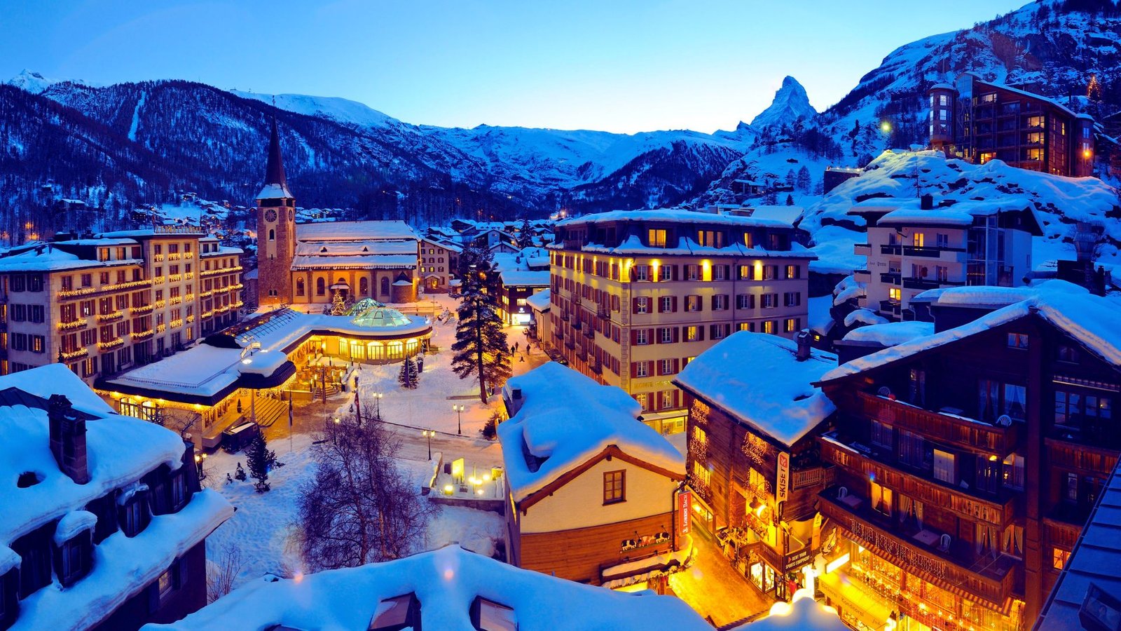
Matterhorn area trails and glacier routes in the sunny southern Alps.
- Matterhorn Glacier Trail: A 10-kilometer interpretive route from Trockener Steg showing glacial retreat, rope bridges, and views of the Matterhorn’s east face.
- Saas-Fee area routes: Trails around this car-free village including the fee glacier route and Kreuzboden lake circuit with Dom and Täschhorn views.
- Gornergrat area hikes: High-altitude routes from the railway station passing multiple lakes with Monte Rosa massif reflections and marmot sightings.
- Rigi cogwheel railway routes: Historic trails following or crossing the railway line that opened in 1871, connecting multiple summit stations and viewpoints.
- Stanserhorn ridge: Open-top cable car access to a 1,898-meter summit with 360-degree views and circular walking paths suitable for all ages.
Appenzell Region
Traditional culture meets dramatic limestone peaks in this quieter hiking region.
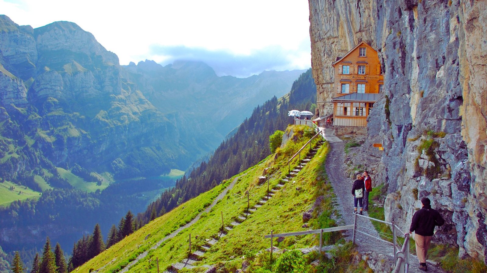
- Ebenalp to Seealpsee: A classic 4-kilometer descent from the cable car station past Wildkirchli caves and cliff-face Aescher restaurant to a turquoise mountain lake.
- Säntis summit routes: Multiple approaches to the 2,502-meter peak including the challenging Lisengrat ridge and easier cable car-assisted options.
- Hoher Kasten ridge: A 2,570-meter limestone summit with a revolving restaurant, accessible via cable car with several ridge walking options.
- Lisengrat traverse: A technical 6-kilometer ridge route with chains and ladders connecting Säntis to Rotsteinpass, for experienced mountain hikers only.
Hidden Gems & Local Favorites
Lesser-known trails that deliver quality experiences without the crowds.
- Gelmer funicular area: Trails accessible via Europe’s steepest funicular (106% gradient), leading to Gelmer Lake and onward to Grimsel Pass region.
- Niederhorn: Wildlife-rich trails above Beatenberg with ibex, chamois, and marmot populations, offering Eiger, Mönch, Jungfrau views without Jungfrau region crowds.
- Klöntalersee: A 4-kilometer lakeside trail around an emerald-green reservoir surrounded by limestone cliffs in the Glarus Alps.
- Engstlenalp: Remote high-altitude meadows accessible via postal bus, featuring traditional cheese-making demonstrations and gentle loops with mountain backdrop.
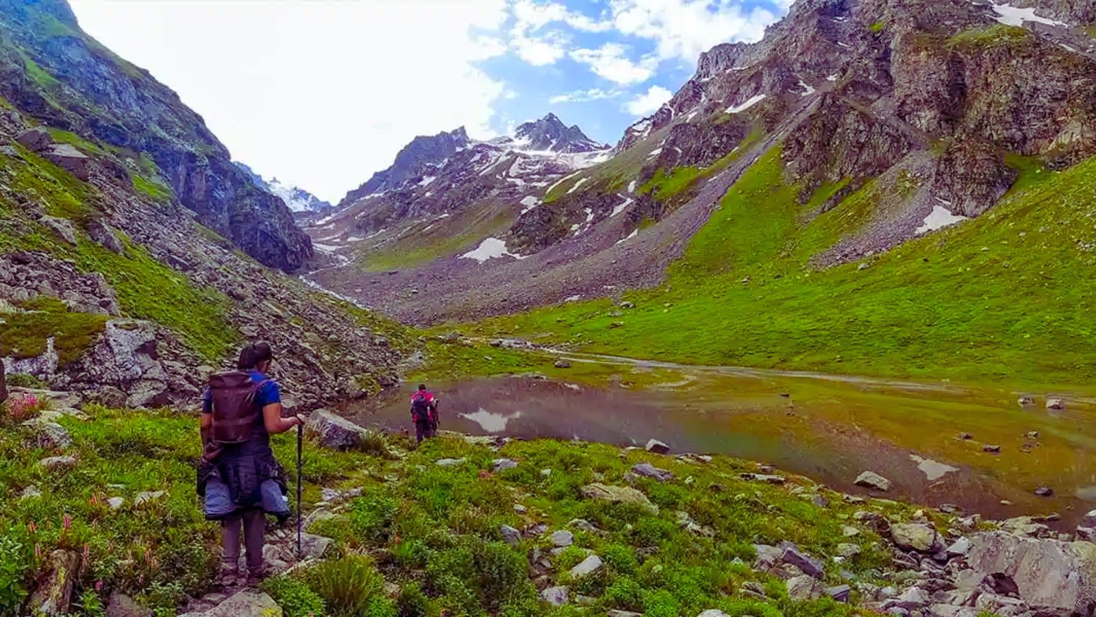
- Haute Route sections: Classic alpine traverse between Chamonix and Zermatt, with Swiss segments crossing high passes and glacier zones over 10-14 days.
- Via Alpina trails: Long-distance segments of the trans-Alpine route, with Swiss sections spanning 390 kilometers across 20 stages from east to west.
- Jura Crest Trail: A 310-kilometer ridge route along the Jura Mountains from Dielsdorf to Nyon, typically completed in 14-16 days with gentle elevation profiles.
Glacier & Ice Trails
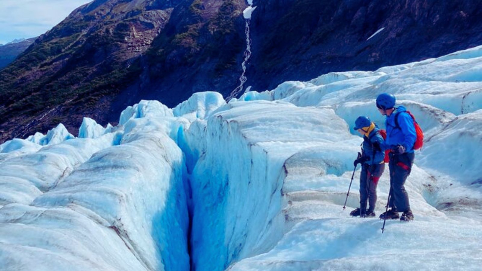
Close encounters with Switzerland’s magnificent glaciers and ice formations.
- Bachalpsee Lake (Grindelwald): A 2.5-kilometer easy hike from First cable car station to a pristine alpine lake with perfect Wetterhorn reflections and surrounding wildflower meadows.
- Trübsee Loop (Engelberg): A flat 3-kilometer circuit around a mountain lake accessible via cable car, ideal for families with swimming spots and paddleboat rentals.
- Creux du Van (Neuchâtel): A dramatic 160-meter limestone amphitheater in the Jura Mountains with a 4-kilometer rim walk offering views across the Swiss Plateau.
- Verzasca Valley Trail: A scenic 12-kilometer route following the emerald-green Verzasca River through smooth rock formations and traditional Ticino stone villages.
- Bannalpsee Circuit: A peaceful 6-kilometer loop around a turquoise mountain lake in central Switzerland, accessible via cable car with minimal elevation change and panoramic views.
Best Hikes in Switzerland by Season
Timing matters in the Alps. Choose your month wisely for the best experience.
April & May: Spring brings wildflowers to lower elevations while high trails have snow. Waterfalls run strongest now. Crowds stay minimal. Pack rain gear as the weather changes quickly.
June & July: High-altitude trails open and wildflower season peaks. Days are long with early sunrise. Book huts ahead as popular trails get crowded. Weekdays beat weekends.
Summer (June-August): All elevations accessible. High alpine passes, multi-day hut-to-hut treks, glacier viewpoints, and ridge walks become available. Afternoon thunderstorms are common. Start early and finish before 2 PM. Bring sun protection.
September: Golden larches and fewer crowds make this ideal. Clear air improves photography. Cooler temperatures feel comfortable. Days shorten quickly. Some huts close after mid-September. First snow can hit high passes.
October: Low-elevation trails only as high routes get snow. Cable cars run reduced schedules. Some shut down completely. Sunrise comes later and days end early. Pack headlamps.
Tips for Hiking in Switzerland
Swiss hiking has particular rhythms and requirements learned from experience.
- Start Early (7-8 AM) – Morning light is best for photos, afternoon thunderstorms hit after 2 PM, popular trails fill up by mid-morning
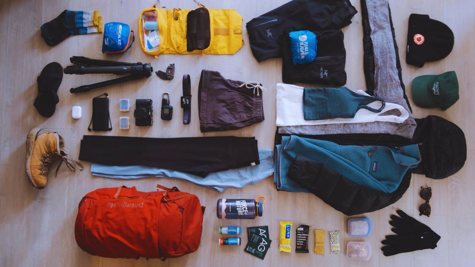
- Pack Smart – Water (1.5-2 liters), snacks, waterproof rain jacket, warm layer, sun protection, first aid, offline maps, cash for huts
- Watch Weather – Check MeteoSwiss forecasts, descend immediately if storms threaten, temperatures drop 1°C per 150 meters at altitude
- Use Public Transport – Swiss Travel Pass covers trains with cable car discounts, book reservations days ahead, last departures around 5 PM
- Emergency Numbers – Tell someone your plans, call 1414 (Alpine rescue) or 112 (regular emergency) from any phone
Conclusion
Switzerland’s trails offer something for everyone. From easy lake walks to challenging ridge routes, you now have options mapped out.
I’ve walked many of these paths myself. The Oeschinensee loop never gets old. That turquoise water still amazes me.
Start with easier trails. Build your confidence. The mountains will be there when you’re ready for more.
Check the weather. Pack the basics. Catch that early train. Your Swiss hiking story starts now.
What trail calls to you first? Drop a comment below. Share your plans or ask questions.
Frequently Asked Questions
What Are the Best Hikes in Switzerland for Views?
Männlichen to Kleine Scheidegg offers constant Eiger views with minimal effort. The 5 Lakes Walk in Zermatt shows Matterhorn reflections, while Aletsch Glacier Panorama Trail follows Europe’s largest ice river.
What Is the Best Month for Hiking in Switzerland?
July and August offer the most accessible trails with stable weather. September brings fewer crowds and golden larches with still-clear high passes.
Are Swiss Hikes Suitable for Beginners?
Yes, routes like Oeschinensee, Bachalpsee, and Männlichen Panorama Trail require no experience. Cable cars handle climbing, leaving gentle walks with incredible views.
Do I Need a Guide to Hike in Switzerland?
Most popular trails don’t require guides thanks to excellent marking and infrastructure. Consider guides only for glacier crossings or technical alpine routes.
Can You Hike Year-Round in Switzerland?
Lower elevation trails near lakes and cities stay open year-round. High alpine routes close October through June due to snow.